
Historic houses · South West England
Annery kiln
In or near Frithelstock.
Annery kiln — a Grade II*-listed historic house in england-south-west, United Kingdom.

Jonathan Billinger — CC BY-SA 2.0 via Wikimedia Commons licence

Plan your visit
- Typical visit
- 1 h–2 h
- Family-friendly
- Limited wheelchair access
About
Annery kiln is a Grade II*-listed building in england-south-west, United Kingdom. Grade II* status is conferred by Historic England (or Cadw, Historic Environment Scotland or NIEA equivalents) on buildings of exceptional national interest. See the linked Wikipedia article for full historical and architectural details.
Photo gallery
Protected designations
- Area of Outstanding Natural Beauty: North Devon
Designations sourced from Natural England open data under OGL v3.
From the Wikipedia article
Annery kiln is a former limekiln of the estate of Annery, in the parish of Monkleigh, North Devon. It is situated on the left bank of the River Torridge near Half-Penny Bridge, built in 1835, which connects the parishes of Monkleigh and Weare Giffard. Running by it today is A386 road from Bideford to Great Torrington. Weare Giffard is the start of the tidal section of the River Torridge, and thus the kiln was sited here to import by river raw materials for the kiln, the product of which was lime fertiliser for use on inland agricultural fields. The old lime kiln is thus situated between the River Torridge and the now filled-in Rolle Canal built circa 1827 and railway that ran formerly from Bideford to Torrington, opened in 1872 and closed in 1966. The old trackbed now forms a stretch of the Tarka Trail.
Excerpt from Wikipedia under CC BY-SA 4.0. See the source article linked in Sources below.
Background
History
Weare Giffard is situated near the tidal limit of the River Torridge, and coal and limestone had been brought up-stream by boat for a long time previously to the building of the Rolle Canal in 1823 - 1827. Due to the corrosive properties of quick lime, the product of the kiln, it was essential that kilns should be situated as closely as possible to the agricultural fields on which it was to be spread. Should the quick lime become wet during transport by the farmer to his farm, it would corrode its container and damage the wagon or pack-animal on which it was being transported. Culm, a form of imperfect anthracite, was mined in Devon at Tavistock and Chittlehampton as well as being imported…
Sourced from Wikipedia under CC BY-SA 4.0.
- Coordinates
- 50.9846, -4.1918
- County
- Devon
- District
- Torridge
- Parish
- Weare Giffard
- Postcode
- EX39 5JE
- Parliamentary constituency
- Torridge and Tavistock
- Official site
- uk.bideford.com
Sources
- wikidata: Q4769014 (CC0)
- wikipedia: Annery kiln (CC BY-SA 4.0)
Other places nearby

Weare Giffard Hall
Manor houses · 0.8 km
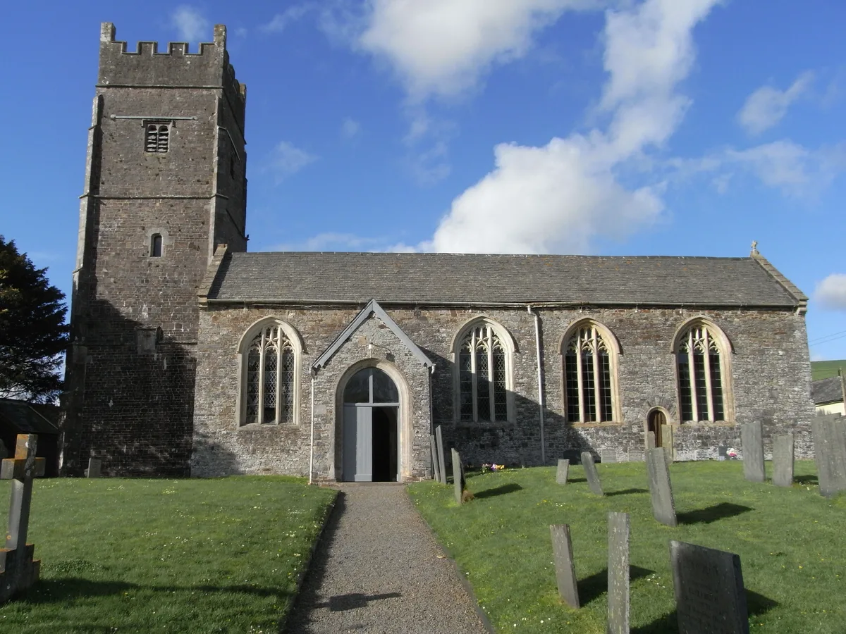
Church of the Holy Trinity
Historic churches · 0.9 km
Weare Giffard War Memorial
Memorials & monuments · 0.9 km

Weare Giffard
Villages · 1.6 km
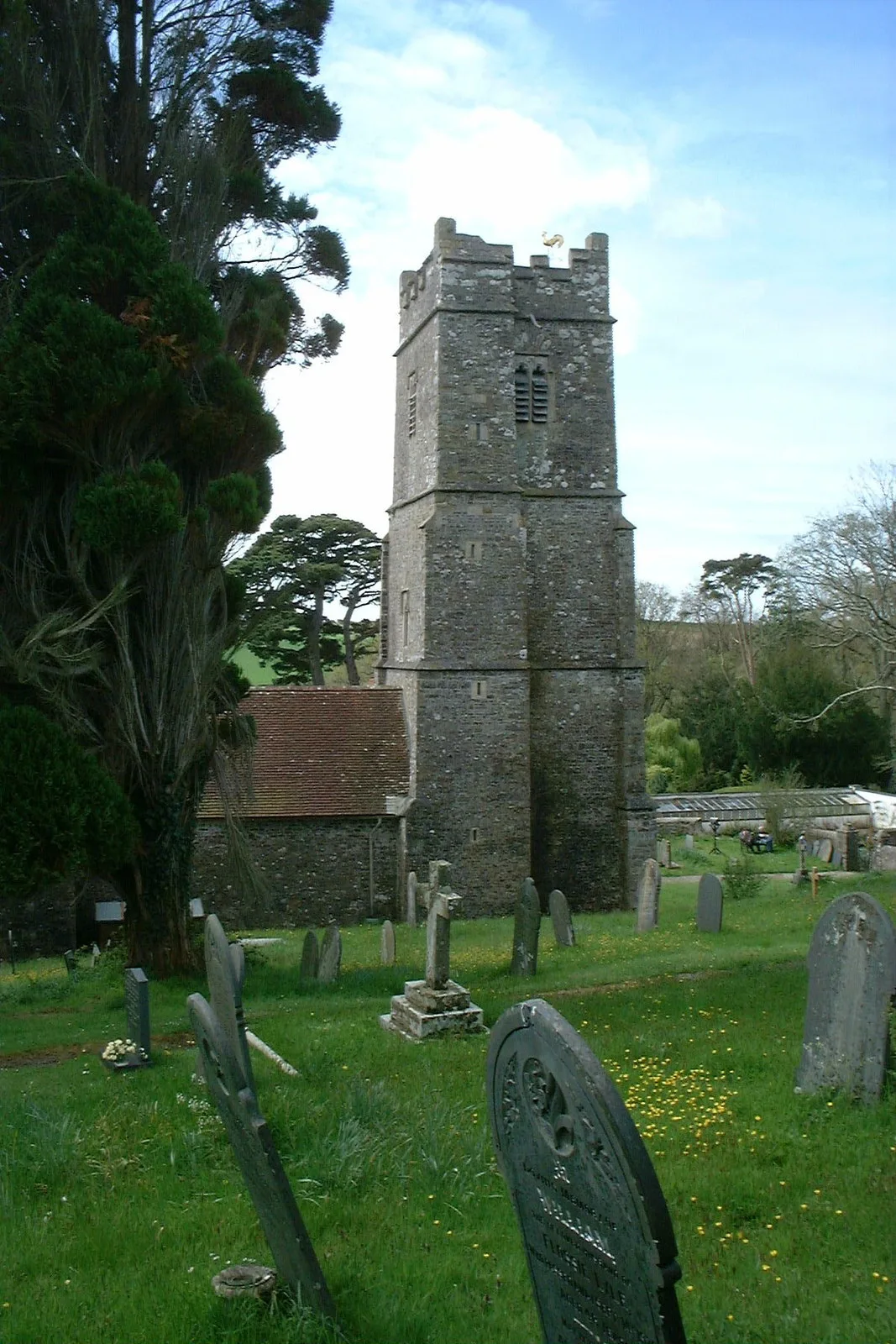
Church of St Swithun
Historic churches · 2.0 km

Petticombe Manor
Manor houses · 2.1 km
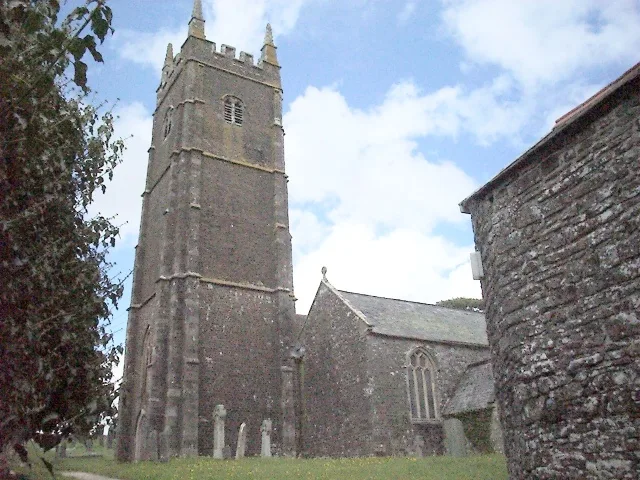
Church of St George, Monkleigh
Historic churches · 2.2 km

Rudha Bridge Millhouse
Historic bridges · 2.2 km
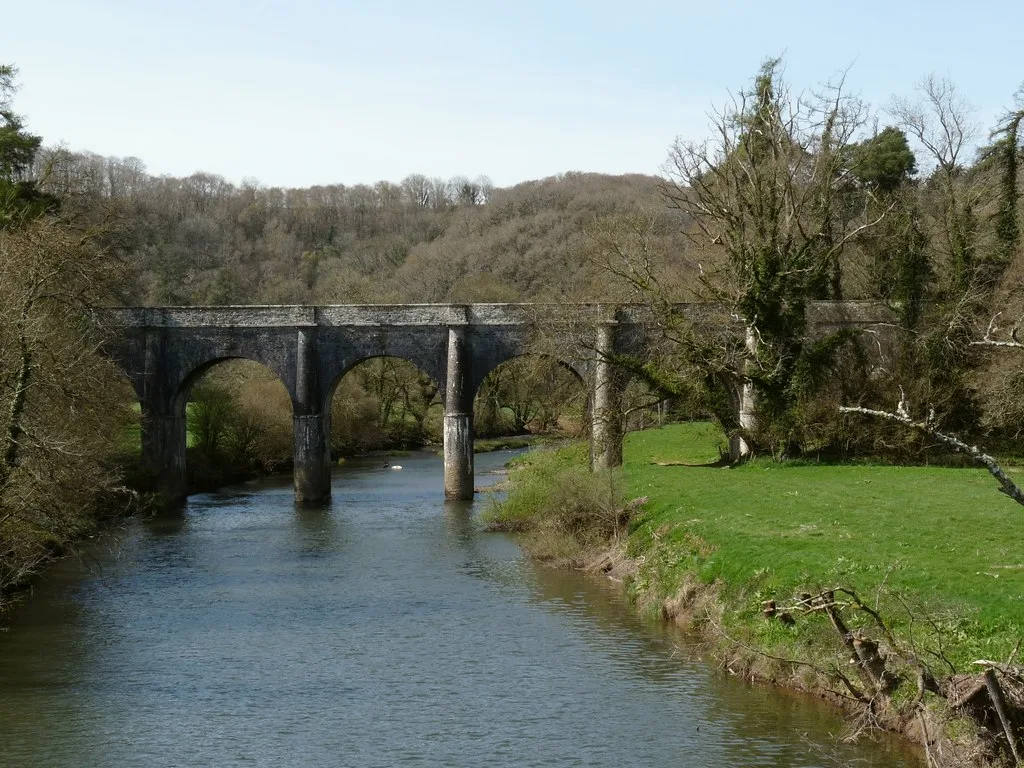
Beam Aqueduct
Aqueducts · 2.2 km

Monkleigh
Villages · 2.3 km

PGL Beam House
Manor houses · 2.4 km

Littleham
Villages · 2.9 km
Nearby
📷 3Manor houses · South West England
Weare Giffard Hall
Weare Giffard Hall — a manor in england-south-west, United Kingdom.
📷 5Historic churches · South West England
Church of the Holy Trinity
Church of the Holy Trinity — church in Weare Giffard, Devon, England, UK.
📷 3Memorials & monuments · South West England
Weare Giffard War Memorial
Weare Giffard War Memorial — Grade II listed building-listed memorial in england-south-west, United Kingdom.
📷 5📷 5Historic churches · South West England
Church of St Swithun
Church of St Swithun — church in Littleham, Torridge, Devon, England, UK.
📷 3Manor houses · South West England
Petticombe Manor
Petticombe Manor — Grade II listed building-listed manor in england-south-west, United Kingdom.
Where to eat & stay near Annery kiln
Places to stay
 📷 7
📷 7 📷 7
📷 7Hotels · South West England
Tantons Hotel
Tantons Hotel — a hotel in england south west.
 📷 5
📷 5Caravan parks · South West England
Higher Darracott Farm Caravan Site
Higher Darracott Farm Caravan Site — a caravan park in england south west.
 📷 7
📷 7 📷 5
📷 5 📷 7
📷 7Hotels · South West England
Durrant House Hotel
Durrant House Hotel — a hotel in england south west.
Places to eat & drink
 📷 5
📷 5Historic pubs · South West England
Blacksmiths Arms Public House
Blacksmiths Arms Public House in England South West, United Kingdom.
 📷 6
📷 6 📷 7
📷 7Historic pubs · South West England
Rose Of Torridge
Rose Of Torridge in England South West, United Kingdom.
 📷 5
📷 5Historic pubs · South West England
The Gannet Public House
The Gannet Public House in England South West, United Kingdom.
 📷 5
📷 5Historic pubs · South West England
Heavitree Arms
Heavitree Arms in England South West, United Kingdom.
 📷 7
📷 7Historic pubs · South West England
The Old Custom House
The Old Custom House in England South West, United Kingdom.
More historic houses in this region
 📷 5
📷 5Historic houses · South West England
1 South Parade
1 South Parade — Grade I listed house in Bath, Somerset, England, UK.
_(geograph_6440799).jpg?width=1200) 📷 5
📷 5Historic houses · South West England
1-4 Lansdowne Grove, Morris Lane
1-4 Lansdowne Grove, Morris Lane — houses in Devizes, Wiltshire, England, UK.
 📷 5
📷 5Historic houses · South West England
2 North Parade
2 North Parade — building in Bath, UK; part of Abbey Hotel.
 📷 5
📷 5Historic houses · South West England
2, South Place, Lacock Road
2, South Place, Lacock Road — house in Corsham, Wiltshire, England, UK.
Frequently asked questions
- Where is Annery kiln?
- Annery kiln is in Devon, South-West England, United Kingdom (postcode EX39 5JE), in the parish of Weare Giffard.
- What is Annery kiln?
- Annery kiln — a Grade II*-listed historic house in england-south-west, United Kingdom.
- How do I get to Annery kiln?
- Drivers can use postcode EX39 5JE.
- Is Annery kiln a listed building?
- Annery kiln is officially recognised as Grade II* listed.
- Is Annery kiln a protected site?
- Yes — Annery kiln is part of the North Devon National Landscape (AONB).
- How do I get to Annery kiln?
- Drivers can navigate to postcode EX39 5JE. It sits within the Torridge and Tavistock parliamentary constituency.