Historic churches · West Midlands
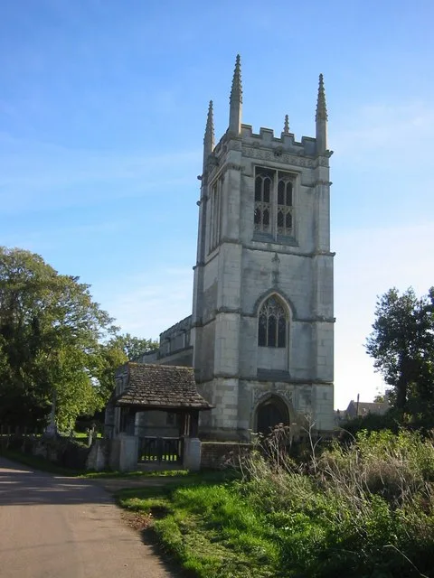
All Saints' Church, Wing
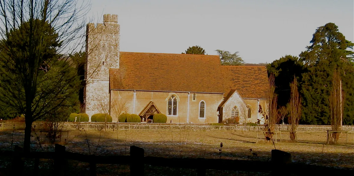
All Saints' Church, Wing — church in Wing, Buckinghamshire, England, UK.

Wikimedia Commons contributors — see linked file page for photographer and licence licence
Plan your visit
- Typical visit
- 30 min–1 h
- Nearest railway station
- Leighton Buzzard · 3.9 km
- Free entry
About
All Saints' Church, Wing is a historic church in the United Kingdom. Records date its origin to AD 950. Built in the Anglo-Saxon architecture style. Heritage designation: Grade I listed building. Affiliated with Anglicanism. Named after All Saints' Day. Wikidata describes it as: "church in Wing, Buckinghamshire, England, UK". Coordinates: 51.8948°, -0.7221°.
Photo gallery
Heritage listing
All Saints' Church in Wing, Buckinghamshire, is a Grade I listed parish church. Its masonry was largely built in the 8th to 11th centuries during the Anglo-Saxon period, making it one of the oldest surviving churches in England. Wing is located 5 km southwest of Leighton Buzzard and 12 km northeast of Aylesbury. The church itself is located on the outskirts west of the town centre. The church was the location of a music video of Libera.
From the Historic England List Entry under OGL v3.
Protected designations
- Area of Outstanding Natural Beauty: Chilterns
Designations sourced from Natural England open data under OGL v3.
From the Wikipedia article
All Saints' Church in Wing, Buckinghamshire, is a Grade I listed parish church. Its masonry was largely built in the 8th to 11th centuries during the Anglo-Saxon period, making it one of the oldest surviving churches in England. Wing is located 5 km southwest of Leighton Buzzard and 12 km northeast of Aylesbury. The church itself is located on the outskirts west of the town centre. The church was the location of a music video of Libera.
Excerpt from Wikipedia under CC BY-SA 4.0. See the source article linked in Sources below.
Background
History
The history of Wing dates back to the 7th or 8th century; the place name originally meant "The Settlement of Withun's People". The first missionaries appeared at the beginning of the second half of the 7th century and the region was Christianized from Aylesbury. The first mention of Wing comes from the period between 966 and 975. The first written mention of the church comes shortly after the Norman Conquest in 1066 and concerned a priest named Goldric, who remained in the possession of the church and his land even after the Norman Conquest.
Description
The Reformation in England began in about 1530 when Henry VIII separated the English Church from the papacy. Significant for Wing was the abolition of the monasteries, since 1528, the Priory of St. Mary de Pre, to which Wing still belonged, was dissolved. The rights of the Priory were acquired by Robert Dormer, 1st Baron Dormer. The Dormers lived in the Manor of Ascott Hall on the outskirts of Wing, acquired the title Earl of Carnarvon in 1628 and were Wing's most important family until the beginning of the 18th century. Diverse members of the Dormer family are buried in the church, mainly at the eastern end of the northern aisle. Particularly impressive are the tombs for Sir Robert Dormer…
Sourced from Wikipedia under CC BY-SA 4.0.
- Coordinates
- 51.8948, -0.7221
- District
- Buckinghamshire
- Parish
- Wing
- Postcode
- LU7 0NX
- Parliamentary constituency
- Aylesbury
- Established
- 950
- Nearest railway station
- Leighton Buzzard — 3.9 km
Sources
- wikidata: Q1272948 (CC0)
- wikipedia: All Saints' Church, Wing (CC BY-SA 4.0)
- commons: All Saints, Wing Nov 2010.jpg (CC BY-SA 4.0)
Other places nearby
Loading nearby places…
Nearby
 📷 5
📷 5Towns & cities · West Midlands
Wing
Wing — village and civil parish in Buckinghamshire, England.
 📷 5
📷 5Museums · West Midlands
Ascott House
Ascott House, sometimes referred to as simply Ascott, is a Grade II* listed building in the hamlet of Ascott near Wing in Buckinghamshire, England. It is set in a 32-acre / 13 hectare estate. Ascott
 📷 5
📷 5Museums · West Midlands
Ascott, Buckinghamshire
Ascott is a hamlet and country house in the parish of Wing, Buckinghamshire, England. The hamlet lies completely within the boundary of the Ascott Estate; it is home to many of the estate and house st
Vineyards · West Midlands
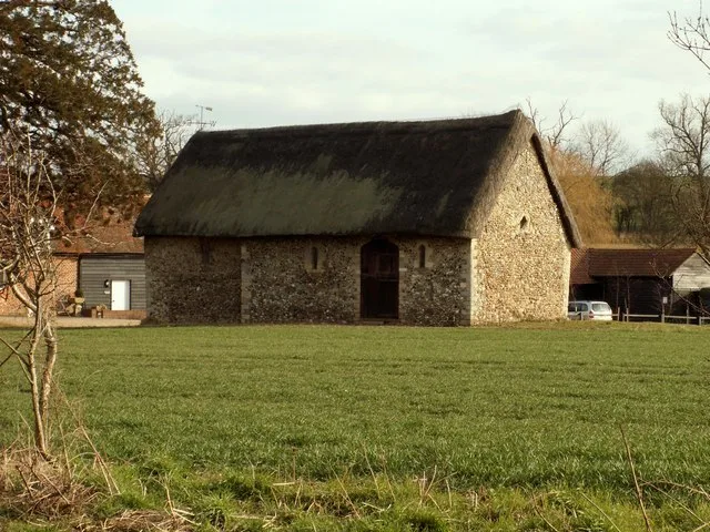
Medieval settlement remains at Crafton
Medieval settlement remains at Crafton — a UK vineyard in england west midlands, producing English or Welsh wine from cool-climate grape varieties.
 📷 5
📷 5Natural landmarks · West Midlands
MacIntyre School
MacIntyre School — a school heritage in england-west-midlands, United Kingdom.
 📷 3
📷 3Forests & woodlands · West Midlands
Tiddenfoot Waterside Park
Tiddenfoot Waterside Park is a forest or woodland in the United Kingdom.
Other places from this era
 📷 5
📷 5Historic churches · London
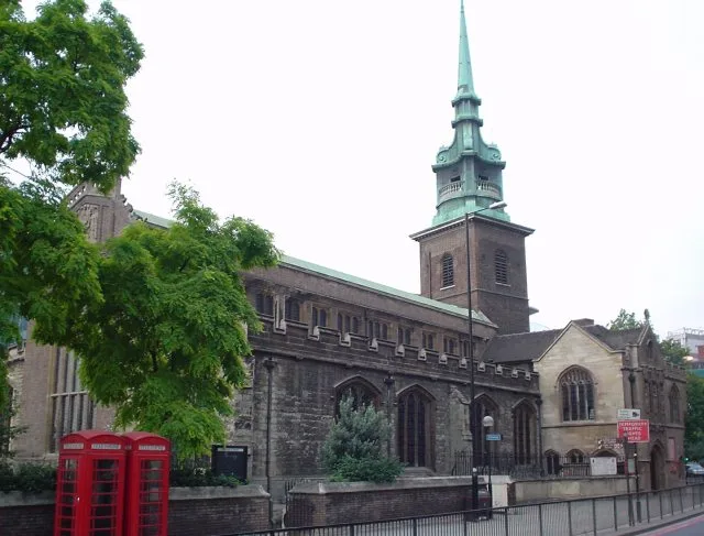
All Hallows-by-the-Tower
All Hallows-by-the-Tower — church in the City of London, United Kingdom.
 📷 5
📷 5Historic churches · London
All Saints Church, West Farleigh
All Saints Church, West Farleigh — Grade I listed church in West Farleigh, Maidstone, Kent, England, UK.
 📷 5
📷 5Historic churches · London
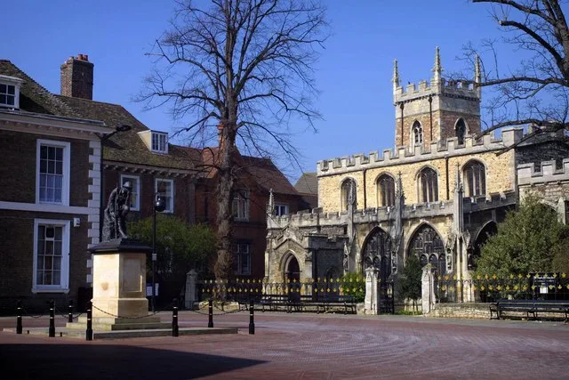
All Saints' Church, Huntingdon
All Saints' Church, Huntingdon — Grade I listed church in Huntingdonshire, United Kingdom.
 📷 5
📷 5Historic churches · London
Chapel of St Helen, Wicken Bonhunt
Chapel of St Helen, Wicken Bonhunt — church building in Wicken Bonhunt, Uttlesford, Essex, England, UK.
More places in this region
 📷 3
📷 3Historic churches · West Midlands
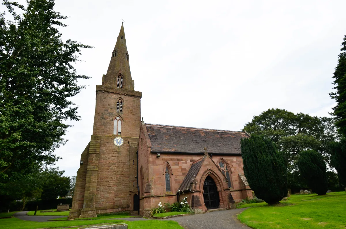
All Saints Chapel, Somerford
All Saints Chapel, Somerford — church in Cheshire East, Cheshire, England, UK.
 📷 4
📷 4Historic churches · West Midlands
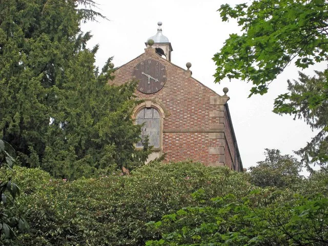
All Saints Church
All Saints Church — church building in Oxford, UK.
 📷 3
📷 3Historic churches · West Midlands
All Saints Church, Aldwincle
All Saints Church, Aldwincle — church in Aldwincle, Northamptonshire, UK.
 📷 3
📷 3Historic churches · West Midlands
All Saints Church, Allesley
All Saints Church, Allesley — Grade I listed church in Coventry, West Midlands, England, UK.
Frequently asked questions
- Where is All Saints' Church, Wing?
- All Saints' Church, Wing is in the West Midlands, United Kingdom (postcode LU7 0NX), in the parish of Wing.
- When was All Saints' Church, Wing built?
- Dates from the Anglo-Saxon period.
- Is All Saints' Church, Wing a listed building?
- All Saints' Church, Wing is officially recognised as Grade I listed building listed.
- Is All Saints' Church, Wing a protected site?
- Yes — All Saints' Church, Wing is part of the Chilterns National Landscape (AONB).
- Is All Saints' Church, Wing free to visit?
- Yes, All Saints' Church, Wing is free to enter.
- How do I get to All Saints' Church, Wing?
- The nearest railway station is Leighton Buzzard, about 3.9 km away. Drivers can navigate to postcode LU7 0NX.