
Historic churches · London
Al-Risaalah Mosque & Islington Islamic Centre
In or near City of London.
Al-Risaalah Mosque & Islington Islamic Centre — a church in London, United Kingdom.

Jim Osley — CC BY-SA 2.0 via Wikimedia Commons licence

Plan your visit
- Typical visit
- 30 min–1 h
- Nearest railway station
- Holloway Road · 0.7 km
- Free entry
About
Al-Risaalah Mosque & Islington Islamic Centre is a church located in London, United Kingdom. Sourced from OpenStreetMap (ODbL licence); see local listings for visitor information, opening hours and admission details.
Photo gallery
See it from the streetimagery from 2024
Imagery © Mapillary contributors, CC BY-SA 4.0
Place summary
Al-Risaalah Mosque & Islington Islamic Centre is a mosque located in London, postcode N7. It serves as a community hub for Islamic worship and activities.
AI-generated from the structured facts on this page (operator, designation, listing, era). Not a substitute for visiting.
- Coordinates
- 51.5575, -0.1203
- District
- Islington
- Parish
- Islington, unparished area
- Postcode
- N7 0LP
- Parliamentary constituency
- Islington North
- Nearest railway station
- Holloway Road — 0.7 km
Sources
- osm: way/231275929 (ODbL)
Other places nearby

Marlborough Theatre
Theatres · 0.1 km

Nag's Head Market
Mines & mining heritage · 0.1 km

Odeon Holloway
Theatres · 0.1 km

Nags Head Market
Historic houses · 0.2 km

Nag's Head
Chapels · 0.2 km
Holloway
Chapels · 0.2 km

Holloway Road Rehearsal Rooms
Theatres · 0.2 km

Islington War Memorial
Memorials & monuments · 0.4 km

The Rock Tower
Theatres · 0.4 km

Owl and Hitchhiker Public House
Historic pubs · 0.4 km

Picture Land
Theatres · 0.4 km
American University in London
Natural landmarks · 0.5 km
Nearby
📷 5📷 5Mines & mining heritage · London
Nag's Head Market
Nag's Head Market — street market in Holloway, London, England, UK.
📷 5📷 5Historic houses · London
Nags Head Market
Nags Head Market is a place of interest in the United Kingdom.
📷 5📷 5Where to eat & stay near Al-Risaalah Mosque & Islington Islamic Centre
Places to stay
 📷 5
 📷 5
Hotels · London
Best Western London Highbury
Best Western London Highbury — a hotel in england london. 3-star. Brand: Best Western.
 📷 6
Hotels · London
Holiday Inn London - Camden Lock
Holiday Inn London - Camden Lock — a hotel in england london. Brand: Holiday Inn.
 📷 5
 📷 7
Hotels · London
Hilton London Angel Islington
Hilton London Angel Islington — a hotel in england london. 4-star. Brand: Hilton.
 📷 5
Hostels · London
Smart Camden Inn
Smart Camden Inn — a hostel in england london.
Places to eat & drink
📷 7Historic pubs · London
Owl and Hitchhiker Public House
Owl and Hitchhiker Public House in England London, United Kingdom.
 📷 5
Historic pubs · London
The Lamb Tavern Public House
The Lamb Tavern Public House in England London, United Kingdom.
 📷 5
 📷 5
Historic pubs · London
The Boston Arms
The Boston Arms — Historic pub — listed building or notable heritage status.
 📷 5
 📷 6
More places in this region
 📷 5
Historic churches · London
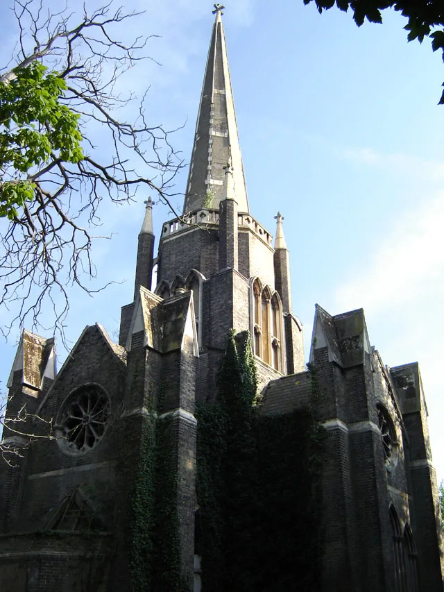
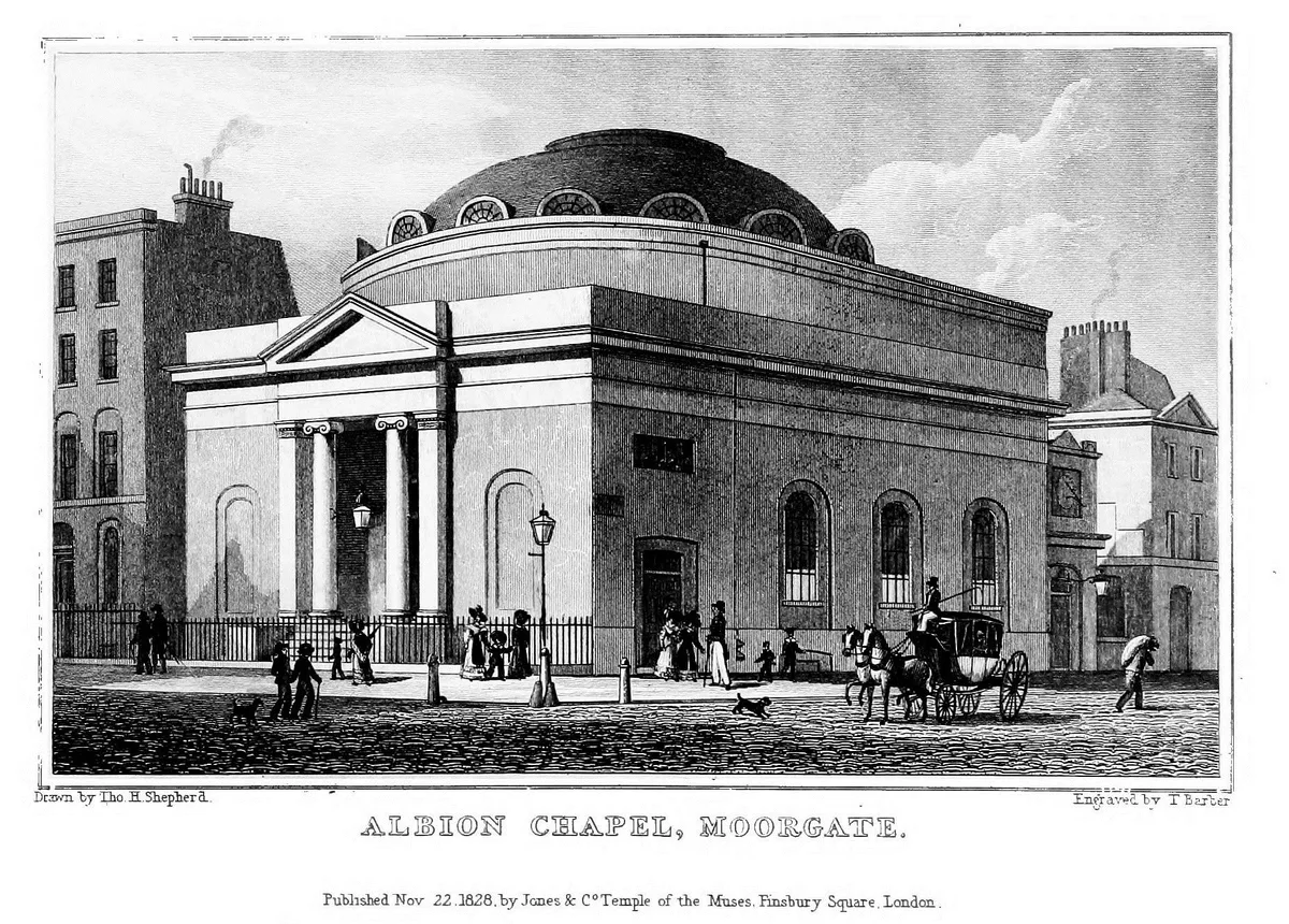
Abney Park Chapel
Abney Park Chapel — grade II listed church in the London Borough of Hackney, England,UK.
 📷 5
 📷 5
Historic churches · London
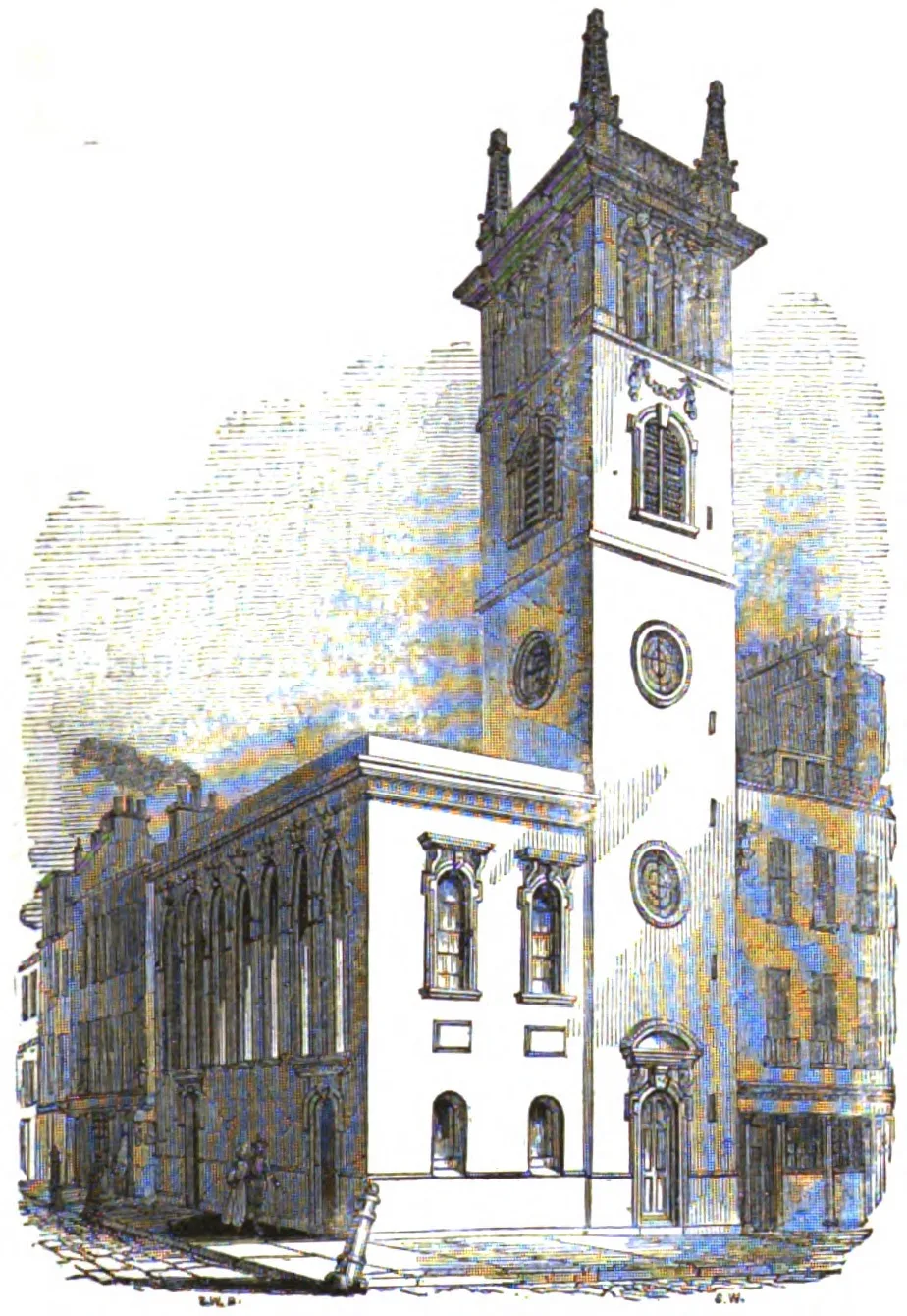
All Hallows Bread Street
All Hallows Bread Street — church in City of London, UK.
 📷 5
Historic churches · London
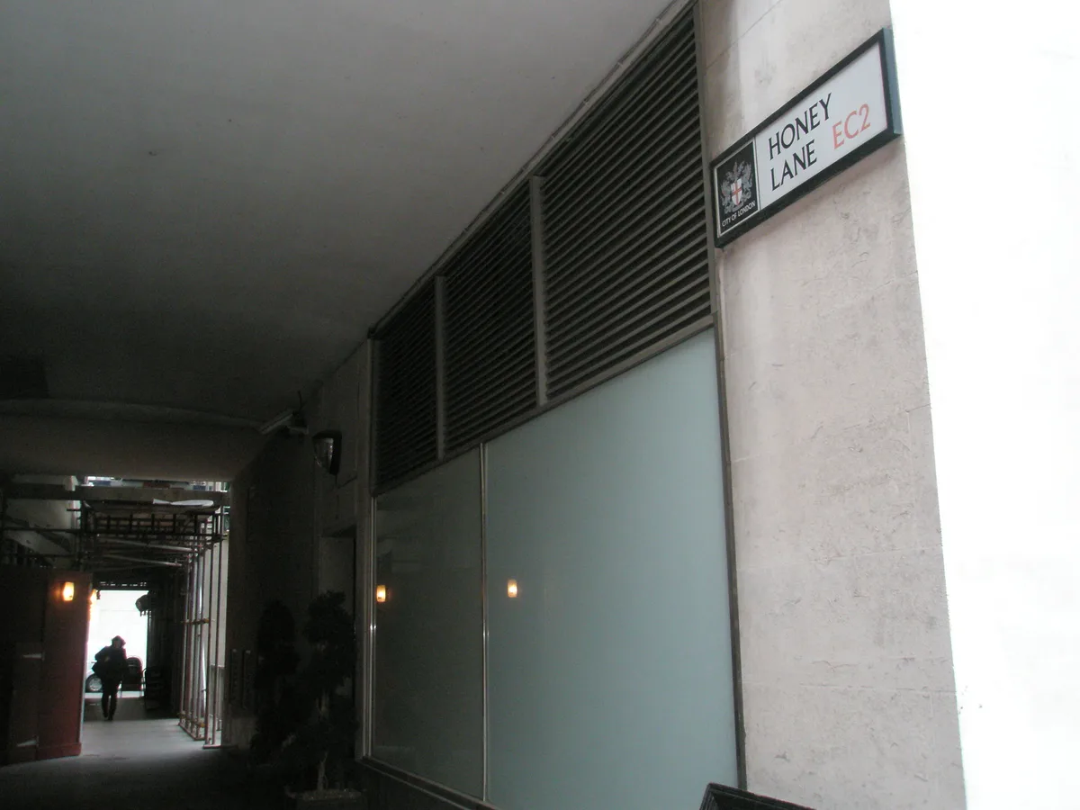
All Hallows Honey Lane
All Hallows Honey Lane — church in City of London, UK.
Frequently asked questions
- Where is Al-Risaalah Mosque & Islington Islamic Centre?
- Al-Risaalah Mosque & Islington Islamic Centre is in London, United Kingdom (postcode N7 0LP), in the parish of Islington, unparished area.
- What is Al-Risaalah Mosque & Islington Islamic Centre?
- Al-Risaalah Mosque & Islington Islamic Centre — a church in London, United Kingdom.
- How do I get to Al-Risaalah Mosque & Islington Islamic Centre?
- The nearest railway station is Holloway Road, about 0.7 km away. The nearest town is City of London. Drivers can use postcode N7 0LP.
- Is Al-Risaalah Mosque & Islington Islamic Centre free to visit?
- Yes, Al-Risaalah Mosque & Islington Islamic Centre is free to enter.
- How do I get to Al-Risaalah Mosque & Islington Islamic Centre?
- The nearest railway station is Holloway Road, about 0.7 km away. Drivers can navigate to postcode N7 0LP.