Mountains & hills · Scottish Highlands
Airigh Ghlas
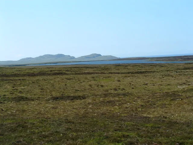
Airigh Ghlas — a hill or mountain in scotland highlands.

thejackrustles — CC BY-SA 2.0 via Wikimedia Commons licence
Plan your visit
- Typical visit
- 3 h–8 h
- Best time of year
- Late spring – early autumn (May–Oct)
About
A British hill or mountain, named on Ordnance Survey maps and walked by hill-baggers. Airigh Ghlas is a named hill or mountain in scotland highlands, recorded in the GeoNames UK gazetteer. British landmarks of this type are typically marked on Ordnance Survey maps and recorded in the national gazetteer for cartographic and navigational reference. Coordinates and feature classification are sourced from the GeoNames open dataset.
Photo gallery
Place summary
Airigh Ghlas is a mountain located in the Scottish Highlands. Known for its rugged terrain and natural beauty, it offers opportunities for hiking and exploration. The surrounding area features dramatic landscapes typical of the Highlands, attracting outdoor enthusiasts and nature lovers.
AI-generated from the structured facts on this page (operator, designation, listing, era). Not a substitute for visiting.
- Coordinates
- 55.8403, -6.3639
Sources
- manual: geonames-12612889 (CC BY 4.0)
Other places nearby
Loading nearby places…
Nearby
 📷 5
📷 5Lakes · Scottish Highlands
Loch an Fhir Mhòr
Loch an Fhir Mhòr — a lake in scotland highlands.
 📷 5
📷 5Lakes · Scottish Highlands
Loch Arish
Loch Arish — a lake in scotland highlands.
 📷 5
📷 5Lakes · Scottish Highlands
Loch na Làthaich
Loch na Làthaich — a lake in scotland highlands.
 📷 3
📷 3Archaeological sites · Scottish Highlands
Crannof
Crannof — a archaeological in scotland-highlands, United Kingdom.
 📷 3
📷 3Natural landmarks · Scottish Highlands
Loch Laingeadail
Loch Laingeadail — lake on Islay, Argyll, Scotland, UK.
 📷 5
📷 5Lakes · Scottish Highlands
Loch Laingeadail Beag
Loch Laingeadail Beag — a lake in scotland highlands.
Where to eat & stay near Airigh Ghlas
Places to stay
 📷 5
📷 5Hotels · Scottish Highlands
Islay House
Islay House — a hotel in scotland highlands.
 📷 5
📷 5Hotels · Scottish Highlands
Bridgend Hotel
Bridgend Hotel — a hotel in scotland highlands.
 📷 5
📷 5Hotels · Scottish Highlands
Harbour Inn
Harbour Inn — a hotel in scotland highlands.
 📷 5
📷 5Hostels · Scottish Highlands
Port Charlotte Youth Hostel
Port Charlotte Youth Hostel — a hostel in scotland highlands.
 📷 5
📷 5Campsites · Scottish Highlands
Port Mòr Campsite
Port Mòr Campsite — a campsite in scotland highlands.
 📷 5
📷 5Hotels · Scottish Highlands
Port Askaig Hotel
Port Askaig Hotel — a hotel in scotland highlands.
More mountains in this region
 📷 3
📷 3Mountains & hills · Scottish Highlands
A' Bhuidheanach Bheag
A' Bhuidheanach Bheag — Named summit at 936 m.
 📷 3
📷 3Mountains & hills · Scottish Highlands
A' Chailleach
A' Chailleach — Named summit at 997 m.
 📷 3
📷 3Mountains & hills · Scottish Highlands
A' Chailleach
A' Chailleach — Named summit at 930 m.
 📷 3
📷 3Mountains & hills · Scottish Highlands
A' Chaoirnich
A' Chaoirnich — Named summit at 875 m.
Frequently asked questions
- Where is Airigh Ghlas?
- Airigh Ghlas is in the Scottish Highlands, United Kingdom.
- What is Airigh Ghlas?
- Airigh Ghlas — a hill or mountain in scotland highlands.
- How do I get to Airigh Ghlas?
- Its coordinates are 55.8403°, -6.3639°.