Natural landmarks · Northern Ireland
Aghnatrisk
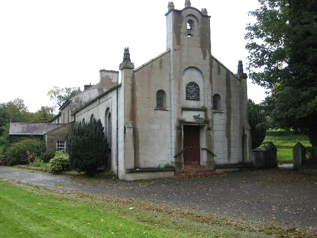
In or near Keshbridge.
Aghnatrisk in Northern Ireland, United Kingdom.

Robert Ashby — CC BY-SA 2.0 via Wikimedia Commons licence
Plan your visit
- Typical visit
- 1 h–2 h
- Nearest railway station
- Moira · 6.3 km
- Free entry
- Dog-friendly
About
Aghnatrisk is a place of interest in Northern Ireland, United Kingdom — drawn from open-data sources for visitor reference. See the linked Wikipedia article for the full description.
Photo gallery
From the Wikipedia article
Aghnatrisk (from Irish Achadh na Triosca 'field of the chaff or rough land') is a rural townland in County Down, Northern Ireland. It has an area of 252.03 acres (1.02 km2). It is situated in the civil parish of Blaris (Iveagh portion) and the historic barony of Iveagh Lower, Upper Half, located 4 miles south-west of Lisburn. It lies within the Lisburn and Castlereagh City Council.
Excerpt from Wikipedia under CC BY-SA 4.0. See the source article linked in Sources below.
- Coordinates
- 54.4747, -6.1206
- District
- Lisburn and Castlereagh
- Postcode
- BT26 6RU
- Parliamentary constituency
- Lagan Valley
- Nearest railway station
- Moira — 6.3 km
Sources
- wikidata: Q104360483 (CC0)
- wikipedia: Aghnatrisk (CC BY-SA 4.0)
Other places nearby

Keshbridge
Towns & cities · 0.6 km
Annacloy
Natural landmarks · 0.9 km

Longkesh
Natural landmarks · 1.1 km

Mazetown
Towns & cities · 1.5 km

Maze
Natural landmarks · 1.5 km
Kilwarlin Moravian Church
Historic churches · 1.6 km

Eikon Exhibition Centre
Natural landmarks · 1.7 km

Maze Prison escape
Natural landmarks · 1.8 km
HM Prison Maze
Natural landmarks · 1.8 km

Down Royal
Natural landmarks · 1.8 km
Balmoral Park
Parks · 1.8 km
RAF Long Kesh
Natural landmarks · 2.0 km
Nearby
📷 3Towns & cities · Northern Ireland
Keshbridge
Keshbridge — village in County Down, Northern Ireland, UK.
📷 3📷 2📷 3Towns & cities · Northern Ireland
Mazetown
Mazetown — village in County Down, Northern Ireland, UK.
📷 3📷 3Historic churches · Northern Ireland
Kilwarlin Moravian Church
Kilwarlin Moravian Church — church building in Royal Hillsborough, County Down, Northern Ireland.
Where to eat & stay near Aghnatrisk
Places to stay
 📷 3
📷 3Caravan parks · Northern Ireland
Standing Stones Lodge Caravan Park
Standing Stones Lodge Caravan Park — a caravan park in northern ireland.
 📷 5
📷 5Caravan parks · Northern Ireland
Kinnego Marina Camping & Caravanning
Kinnego Marina Camping & Caravanning — a caravan park in northern ireland.
 📷 7
📷 7 📷 5
📷 5Hostels · Northern Ireland
Paddy's Palace Belfast
Paddy's Palace Belfast — a hostel in northern ireland.
📷 5Hostels · Northern Ireland
Botanical Backpackers
Botanical Backpackers — a hostel in northern ireland.
Places to eat & drink
 📷 5
📷 5 📷 3
📷 3Historic pubs · Northern Ireland
Red Lion Pub bombing
Red Lion Pub bombing in Northern Ireland, United Kingdom.
 📷 7
📷 7Historic pubs · Northern Ireland
Crown Liquor Saloon
Crown Liquor Saloon in Northern Ireland, United Kingdom.
 📷 7
📷 7Historic pubs · Northern Ireland
Kelly's Cellars
Kelly's Cellars in Northern Ireland, United Kingdom.
 📷 5
📷 5 📷 5
📷 5More natural landmarks in this region
 Flagship📷 4
Natural landmarks · Northern Ireland
Lough Erne
Lough Erne — lake in County Fermanagh, Northern Ireland, UK.
 Flagship📷 4
Natural landmarks · Northern Ireland
Lough Neagh
Lough Neagh — large lake in Northern Ireland.
 📷 3
📷 3Natural landmarks · Northern Ireland
Ballysaggart Lough
Ballysaggart Lough — lake in the United Kingdom.
 📷 5
📷 5Natural landmarks · Northern Ireland
Belmore Mountain
Belmore Mountain — mountain in the United Kingdom.
Frequently asked questions
- Where is Aghnatrisk?
- Aghnatrisk is in Northern Ireland, United Kingdom (postcode BT26 6RU).
- What is Aghnatrisk?
- Aghnatrisk in Northern Ireland, United Kingdom.
- How do I get to Aghnatrisk?
- The nearest railway station is Moira, about 6.3 km away. Drivers can use postcode BT26 6RU.
- Is Aghnatrisk free to visit?
- Yes, Aghnatrisk is free to enter.
- How do I get to Aghnatrisk?
- The nearest railway station is Moira, about 6.3 km away. Drivers can navigate to postcode BT26 6RU.