
Towns & cities · Yorkshire & the Humber
Addingham
Addingham — village and civil parish in West Yorkshire, UK.

Wikimedia Commons contributors — see linked file page for photographer and licence licence

Plan your visit
- Typical visit
- 3 h–6 h
- Nearest railway station
- Ilkley · 4.2 km
- Free entry
- Family-friendly
- Dog-friendly
Getting there & planning your visit
To visit Addingham, you can take a train to Ilkley station, which is 4.2 km away. Entry to the town is free.
About
Addingham is a town, city, village or settlement in the United Kingdom. Recent population estimates put it at around 3,599 people. Address: LS29. Wikidata describes it as: "village and civil parish in West Yorkshire, UK". Coordinates: 53.9333°, -1.8833°.
Photo gallery
Protected designations
- Area of Outstanding Natural Beauty: Nidderdale
Designations sourced from Natural England open data under OGL v3.
From the Wikipedia article
Addingham (formerly Haddincham c. 972, Odingehem 1086) is a village and civil parish in the City of Bradford in West Yorkshire, England. It is situated near the A65, 6 miles (10 km) south-east of Skipton, 3 miles (5 km) west of Ilkley, 12 miles (19 km) north-west of Bradford and around 20 miles (32 km) north-west of Leeds. Historically part of the West Riding of Yorkshire, it is located in the valley of the River Wharfe and is only 1 mile (2 km) from the Yorkshire Dales National Park. The name is thought to mean "homestead associated with a man called Adda", although in the Domesday Book, the village was referred to as "Ediham", which may have referred to Earl Edwin of Bolton Abbey. The 2001 census numbered Addingham's population at 3,599, increasing to 3,730 at the 2011 Census. The area around Addingham is thought to have been populated from at least Bronze Age times, indicated by the 'cup and ring' carved stones that can be found on Addingham Moor. Its beginnings may date back to the late Mesolithic period, as evidenced by the scattered remains of early flint tools across Rombald's Moor to the south. The earliest of the existing houses were built in the 17th century when the village was a farming community, but the real growth began in the late 18th century and early 19th century when the textile industry arrived and five working mills, plus other loomshops and weaving sheds, were established, and the village developed into a busy industrial community. The village grew up around three centres; Church Street in the east; The Green, about a mile away in the west; and the Old School in between. This is thought to be one of the reasons the village used to be known as "Long Addingham". Since the decline of the textile industry during the 20th century, the village has now become largely a commuter and retirement community. It is home to an award-winning Medical Centre, a public park, four public houses, several retirement homes and a solitary school, Addingham Primary…
Excerpt from Wikipedia under CC BY-SA 4.0. See the source article linked in Sources below.
Background
History
There is evidence of civilisation around Addingham as far back as the late Mesolithic, Neolithic and early Bronze Ages, as indicated by the remains of early man in the form of flint tools on Rombald's Moor, which may date back to around 11,000 BC. It has been suggested that Round Dikes, along with similar nearby sites Woofa Bank and Nesfield Scar, were summer encampments of the Romans. Little evidence truly remains of the 350 years of Roman occupation, save for the Roman road towards Skipton (now Moor Lane) which, up until the 1800s, was still the primary route between the two settlements. It is thought that the Craven area, including what now constitutes Addingham, was settled by…
Sourced from Wikipedia under CC BY-SA 4.0.
- Coordinates
- 53.9333, -1.8833
- District
- Bradford
- Parish
- Addingham
- Postcode
- LS29
- Parliamentary constituency
- Keighley and Ilkley
- Population
- 3,599
- Nearest railway station
- Ilkley — 4.2 km
Sources
- wikidata: Q379316 (CC0)
- wikipedia: Addingham (CC BY-SA 4.0)
- commons: Crown Inn and Chapel, Addingham.jpg (CC BY-SA 4.0)
Other places nearby

School Wood Farm Holiday Home Park
Caravan parks · 0.5 km

Mount Hermon Wesleyan Reform Chapel
Chapels · 1.2 km

Noon Stone
Archaeological sites · 1.6 km

Turner Lane T.P.
Archaeological sites · 1.7 km

Castleberg Hillfort
Hill forts · 1.7 km

Castleberg
Vineyards · 1.7 km

Olicana Caravan Park
Caravan parks · 1.8 km

Hollin Hall T.P.
Archaeological sites · 2.0 km

Long Ridge End
Mountains & hills · 2.1 km

High Cote
Archaeological sites · 2.1 km

Brown Bank Caravan Park
Caravan parks · 2.1 km
Brown Bank
Mountains & hills · 2.3 km
Addingham is a village in Yorkshire with a population of 3,599. Our guide lists nearby attractions within reach.
At a glance
- Population
- 3,599
- Constituency
- Keighley and Ilkley
Things to see in Addingham
59 attractions within 12 km — showing the 24 most editorially-significant. Full guide: things to do in Addingham →
 📷 3
📷 3Aqueducts · Yorkshire & the Humber
Barden Aqueduct
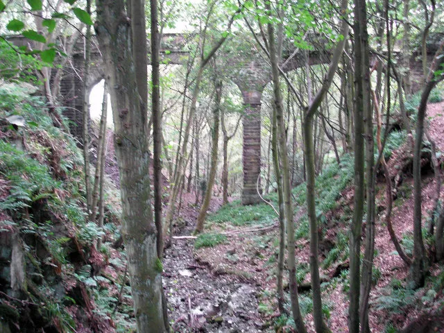
Barden Aqueduct — aqueduct in Silsden, Bradford, West Yorkshire, England, UK.
 📷 3
📷 3Historic bridges · Yorkshire & the Humber
Barden Aqueduct
Barden Aqueduct is a historic bridge in the United Kingdom.
 📷 3
📷 3Forests & woodlands · Yorkshire & the Humber
Bradford Pennine Gateway NNR
Bradford Pennine Gateway NNR is a forest or woodland in the United Kingdom.
 📷 5
📷 5Gardens · Yorkshire & the Humber
Heathcote
Heathcote — 1908 villa and garden in Ilkley, West Yorkshire, England, UK by Edwin Lutyens and Gertrude Jekyll.
 📷 3
📷 3Aqueducts · Yorkshire & the Humber
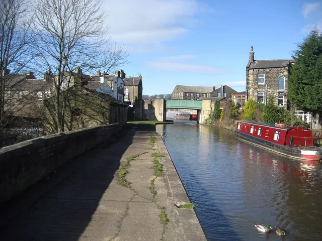
Leeds And Liverpool Canal Aqueduct Over Hainsworth Road And Silsden Beck
Leeds And Liverpool Canal Aqueduct Over Hainsworth Road And Silsden Beck — aqueduct in Silsden, Bradford, West Yorkshire, England, UK.
 📷 3
📷 3Aqueducts · Yorkshire & the Humber
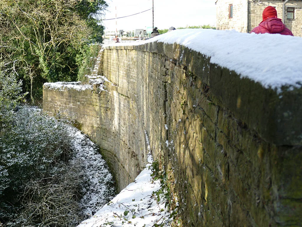
Leeds And Liverpool Canal, Aqueduct Over Morton Beck At Se1003 4120
Leeds And Liverpool Canal, Aqueduct Over Morton Beck At Se1003 4120 — aqueduct in Bradford, West Yorkshire, England, UK.
📷 3Chapels · Yorkshire & the Humber
Mount Hermon Wesleyan Reform Chapel
Mount Hermon Wesleyan Reform Chapel — chapel in Addingham, Bradford, West Yorkshire, England, UK.
.jpg?width=1200) 📷 3
📷 3Historic houses · Yorkshire & the Humber
Myddleton Lodge (St Paul's Retreat)
Myddleton Lodge (St Paul's Retreat) — Grade I listed house in Ilkley, West Yorkshire, England,UK.
 📷 3
📷 3Historic houses · Yorkshire & the Humber
East Riddlesden Hall
East Riddlesden Hall — a other in england-yorkshire, United Kingdom.
 📷 3
📷 3Archaeological sites · Yorkshire & the Humber
Badger Stone
Badger Stone — a archaeological in england-yorkshire, United Kingdom.
 📷 3
📷 3Archaeological sites · Yorkshire & the Humber
Swastika Stone
Swastika Stone — a archaeological in england-yorkshire, United Kingdom.
 📷 3
📷 3Castles · Yorkshire & the Humber
Brass Castle
Brass Castle — a castle in england-yorkshire, United Kingdom.
📷 3Hill forts · Yorkshire & the Humber
Castleberg Hillfort
Castleberg Hillfort — a hill fort in england-yorkshire, United Kingdom.
 📷 3
📷 3Archaeological sites · Yorkshire & the Humber
Counter Hill Ironage camp
Counter Hill Ironage camp — a archaeological in england-yorkshire, United Kingdom.
📷 3Archaeological sites · Yorkshire & the Humber
Noon Stone
Noon Stone — a archaeological in england-yorkshire, United Kingdom.
📷 3Archaeological sites · Yorkshire & the Humber
High Cote
High Cote — a archaeological in england-yorkshire, United Kingdom.
 📷 3
📷 3Archaeological sites · Yorkshire & the Humber
Renny House
Renny House — a archaeological in england-yorkshire, United Kingdom.
📷 3Archaeological sites · Yorkshire & the Humber
Hollin Hall T.P.
Hollin Hall T.P. — a archaeological in england-yorkshire, United Kingdom.
 📷 3
📷 3Archaeological sites · Yorkshire & the Humber
Noah Lathe
Noah Lathe — a archaeological in england-yorkshire, United Kingdom.
 📷 3
📷 3Archaeological sites · Yorkshire & the Humber
Swartha Lathe
Swartha Lathe — a archaeological in england-yorkshire, United Kingdom.
📷 3Archaeological sites · Yorkshire & the Humber
Henry Lathe
Henry Lathe — a archaeological in england-yorkshire, United Kingdom.
 📷 3
📷 3Archaeological sites · Yorkshire & the Humber
Bank End
Bank End — a archaeological in england-yorkshire, United Kingdom.
📷 3Archaeological sites · Yorkshire & the Humber
Turner Lane T.P.
Turner Lane T.P. — a archaeological in england-yorkshire, United Kingdom.
 📷 3
📷 3Archaeological sites · Yorkshire & the Humber
Cote Close
Cote Close — a archaeological in england-yorkshire, United Kingdom.
Nearby
📷 5Caravan parks · Yorkshire & the Humber
School Wood Farm Holiday Home Park
School Wood Farm Holiday Home Park — a caravan park in england yorkshire.
📷 3Chapels · Yorkshire & the Humber
Mount Hermon Wesleyan Reform Chapel
Mount Hermon Wesleyan Reform Chapel — chapel in Addingham, Bradford, West Yorkshire, England, UK.
📷 3Archaeological sites · Yorkshire & the Humber
Noon Stone
Noon Stone — a archaeological in england-yorkshire, United Kingdom.
📷 3Archaeological sites · Yorkshire & the Humber
Turner Lane T.P.
Turner Lane T.P. — a archaeological in england-yorkshire, United Kingdom.
📷 3Hill forts · Yorkshire & the Humber
Castleberg Hillfort
Castleberg Hillfort — a hill fort in england-yorkshire, United Kingdom.
📷 5Vineyards · Yorkshire & the Humber
Castleberg
Castleberg — a UK vineyard in england yorkshire, producing English or Welsh wine from cool-climate grape varieties.
Where to eat & stay near Addingham
Places to stay
📷 5Caravan parks · Yorkshire & the Humber
School Wood Farm Holiday Home Park
School Wood Farm Holiday Home Park — a caravan park in england yorkshire.
📷 5Caravan parks · Yorkshire & the Humber
Olicana Caravan Park
Olicana Caravan Park — a caravan park in england yorkshire.
📷 5Caravan parks · Yorkshire & the Humber
Brown Bank Caravan Park
Brown Bank Caravan Park — a caravan park in england yorkshire.
 📷 5
📷 5Caravan parks · Yorkshire & the Humber
Cringles Park Home estate
Cringles Park Home estate — a caravan park in england yorkshire.
 📷 5
📷 5 📷 5
📷 5Campsites · Yorkshire & the Humber
Curly Hill Campsite & Centre
Curly Hill Campsite & Centre — a campsite in england yorkshire.
Places to eat & drink
 📷 5
📷 5Restaurants · Yorkshire & the Humber
The Box Tree
The Box Tree — a restaurant in england yorkshire.
 📷 5
📷 5Cafés · Yorkshire & the Humber
White Wells
White Wells — a café in england yorkshire.
 📷 5
📷 5Historic pubs · Yorkshire & the Humber
Airedale Heifer Public House And Attached Barn
Airedale Heifer Public House And Attached Barn in England Yorkshire, United Kingdom.
 📷 5
📷 5Historic pubs · Yorkshire & the Humber
Elm Tree Inn
Elm Tree Inn in England Yorkshire, United Kingdom.
 📷 5
📷 5Historic pubs · Yorkshire & the Humber
The Devonshire
The Devonshire in England North West, United Kingdom.
 📷 5
📷 5Historic pubs · Yorkshire & the Humber
The Rustic Shop And Former Stable Buildings To Rear Of The Red Lion Public House
The Rustic Shop And Former Stable Buildings To Rear Of The Red Lion Public House in England North West, United Kingdom.
More towns in this region
 Flagship📷 3
Towns & cities · Yorkshire & the Humber
Hazel Grove
Hazel Grove — suburb within the Metropolitan Borough of Stockport, in Greater Manchester, England.
 Flagship📷 3
Towns & cities · Yorkshire & the Humber
High Lane
High Lane — village in the Metropolitan Borough of Stockport, Greater Manchester, United Kingdom.
 📷 5
📷 5Towns & cities · Yorkshire & the Humber
Disley
Disley — village in Cheshire East, Cheshire, England, UK.
 📷 3
📷 3Frequently asked questions
- Where is Addingham?
- Addingham is in Yorkshire, United Kingdom (postcode LS29), in the parish of Addingham.
- What is Addingham?
- Addingham — village and civil parish in West Yorkshire, UK.
- How do I get to Addingham?
- The nearest railway station is Ilkley, about 4.2 km away. Drivers can use postcode LS29.
- Is Addingham a protected site?
- Yes — Addingham is part of the Nidderdale National Landscape (AONB).
- Is Addingham free to visit?
- Yes, Addingham is free to enter.
- How do I get to Addingham?
- The nearest railway station is Ilkley, about 4.2 km away. Drivers can navigate to postcode LS29.