
Other places · Scottish Islands
Achiemore
Achiemore in Scotland Islands, United Kingdom.

RH Dengate — CC BY-SA 2.0 via Wikimedia Commons licence

Plan your visit
- Typical visit
- 1 h–2 h
About
Achiemore is a place of interest in Scotland Islands, United Kingdom — drawn from open-data sources for visitor reference. See the linked Wikipedia article for the full description.
Photo gallery
From the Wikipedia article
Achiemore was a crofting community located on the Cape Wrath peninsula near the village of Durness in the Scottish county of Sutherland. The hamlet is just south of the farmstead of Daill on the western shore of the Kyle of Durness. Neither place has a permanent population with the village of Durness located 2.5 miles (4.0 km) to the east. Inverness is around 120 miles (190 km) to the south.
Excerpt from Wikipedia under CC BY-SA 4.0. See the source article linked in Sources below.
Background
History
Between 1935 and 1938, there were around 40 people living on the cape side. The farmsteads at Daill and Achiemore consisted of two or three buildings with assorted enclosures. Up to 10 children from across the cape were known to attend a side school to Durness Primary School which was located at Achiemore. The school closed in 1947 and the whole area of the cape is now virtually uninhabited. The school building stood until the early 1990s, when its roof blew off in strong winds, and its walls were taken down to strengthen the wooden bridge constructed by the Royal Marines in 1980 crossing the Daill River to the north west of Achiemore. A site at Eilean nan Caorach, around 2 mi north of…
Visiting
Achiemore is in the Highland Council area in the far north of Scotland. Access across the Kyle of Durness is by a small passenger ferry operating from Keoldale during the summer months. The hamlet is on the U70 road linking the ferry to the lighthouse at Cape Wrath which was built in the 1830s as a supply road for the newly opened lighthouse replacing a track which linked to an original slipway north of Daill. Quarries alongside the road at both Achiemore and Daill were used to provide material for the building of the road.
Sourced from Wikipedia under CC BY-SA 4.0.
- Coordinates
- 58.5680, -4.8210
- District
- Highland
- Postcode
- IV27 4QQ
- Parliamentary constituency
- Caithness, Sutherland and Easter Ross
Sources
- wikidata: Q2266828 (CC0)
- wikipedia: Achiemore, Durness (CC BY-SA 4.0)
Other places nearby

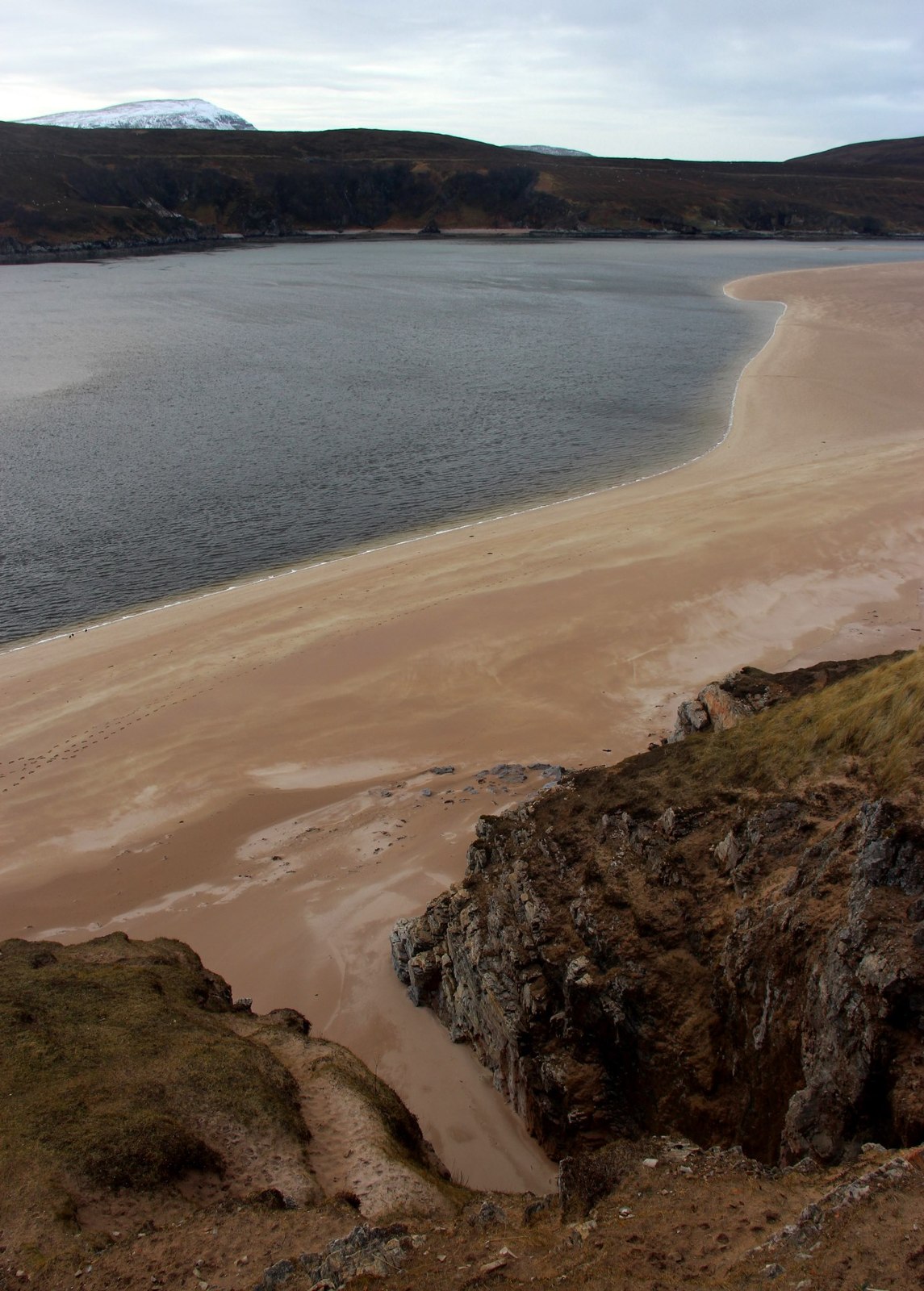
Kyle of Durness
Natural landmarks · 0.3 km
Johnston's Cave
Caves · 1.2 km

Solmar
Historic houses · 1.8 km

Balnakiel Gloup Cave
Caves · 2.2 km

Beinn an Amair
Mountains & hills · 2.3 km

Beinn an Duibhe
Mountains & hills · 2.4 km
Beinn an Amair
Mountains & hills · 2.4 km
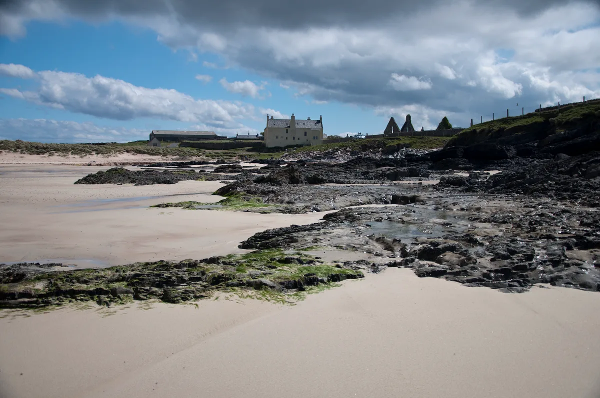
Balnakeil Bay
Mountains & hills · 2.4 km
Beinn an Duibhe
Mountains & hills · 2.4 km
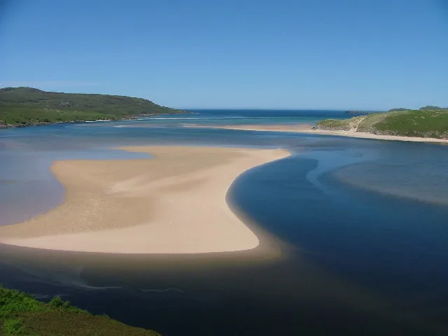
Kyle of Durness
Mountains & hills · 2.7 km

Keoldale
Villages · 2.7 km

Balnakeil Old Schoolhouse ruins
Historic houses · 3.0 km
Nearby
📷 5Natural landmarks · Scottish Islands
Kyle of Durness
Kyle of Durness — a natural feature in scotland islands.
📷 5📷 3Historic houses · Scottish Islands
Solmar
Solmar — a historic house in scotland-islands, United Kingdom.
📷 5📷 5Mountains & hills · Scottish Islands
Beinn an Amair
Beinn an Amair — mountain in scotland islands. Elevation: 277 m.
📷 5Mountains & hills · Scottish Islands
Beinn an Duibhe
Beinn an Duibhe — a hill or mountain in scotland islands.
Where to eat & stay near Achiemore
Places to stay
 📷 5
📷 5Caravan parks · Scottish Islands
Balnakeil Motorhome Stopover
Balnakeil Motorhome Stopover — a caravan park in scotland islands.
 📷 5
📷 5Hostels · Scottish Islands
Lazy Crofter Bunkhouse/Hostel
Lazy Crofter Bunkhouse/Hostel — a hostel in scotland islands.
📷 5 📷 5
📷 5Campsites · Scottish Islands
Sango Sands
Sango Sands — a campsite in scotland islands.
 📷 5
📷 5Hostels · Scottish Islands
Durness Youth Hostel
Durness Youth Hostel — a hostel in scotland islands.
 📷 5
📷 5Caravan parks · Scottish Highlands
Choraidh Croft
Choraidh Croft — a caravan park in scotland highlands.
More places in this region
 📷 3
📷 3Other places · Scottish Islands
Mosaic Mackerel
Mosaic Mackerel — Public artwork (sculpture) by Rosalind Waites.
 📷 3
📷 3Other places · Scottish Islands
TEF-20 Ferguson Sculpture
TEF-20 Ferguson Sculpture — Public artwork (sculpture).
 📷 3
📷 3Other places · Scottish Islands
Time and Tide Bell
Time and Tide Bell — Public artwork (sculpture) by Marcus Vergette.
 📷 3
📷 3Frequently asked questions
- Where is Achiemore?
- Achiemore is in the Scottish Islands, United Kingdom (postcode IV27 4QQ).
- What is Achiemore?
- Achiemore in Scotland Islands, United Kingdom.
- How do I get to Achiemore?
- Drivers can use postcode IV27 4QQ.
- How do I get to Achiemore?
- Drivers can navigate to postcode IV27 4QQ. It sits within the Caithness, Sutherland and Easter Ross parliamentary constituency.