
Abbeys & priories · North West England
Abbeystead House
In or near Abbeystead.
Abbeystead House — a Grade II-listed abbey in england-north-west, United Kingdom.

Alexander P Kapp — CC BY-SA 2.0 via Wikimedia Commons licence

Plan your visit
- Typical visit
- 45 min–1.5 h
- Family-friendly
- Limited wheelchair access
About
Abbeystead House is a Grade II-listed building in england-north-west, United Kingdom. Grade II status is conferred by Historic England (or Cadw, Historic Environment Scotland or NIEA equivalents) on buildings of exceptional national interest. See the linked Wikipedia article for full historical and architectural details.
Photo gallery
Protected designations
- Site of Special Scientific Interest: Bowland Fells SSSI
- Area of Outstanding Natural Beauty: Forest Of Bowland
Designations sourced from Natural England open data under OGL v3.
From the Wikipedia article
Abbeystead House is a large country house to the east of the village of Abbeystead, Lancashire, England, some 12 km (7 miles) south-east of Lancaster. It is recorded in the National Heritage List for England as a designated Grade II listed building.
Excerpt from Wikipedia under CC BY-SA 4.0. See the source article linked in Sources below.
Background
History
Abbeystead House was built in 1886 as a shooting lodge for the 4th Earl of Sefton. who added gun and billiard rooms in 1894. The estate holds the record for the biggest grouse bag in a day; when on 12 August 1915, 2,929 birds were shot by eight guns (shooters). In 1980 the Abbeystead Estate, totalling 18000 acre and including the house, was bought by a trust relating to the family of the Duke of Westminster. Gerald Grosvenor, 6th Duke of Westminster, died suddenly at the house on 9 August 2016.
Architecture
The house is built in sandstone rubble with slate roofs in Elizabethan style. Its plan is an L-shape, with south and east ranges partly enclosing a courtyard. The south range forms the main block while the east range is the service wing which incorporates a four-storey castellated tower. To the east of the main house subsidiary buildings form a second courtyard. The south range has two storeys plus attics and is entered by a porch on its north side. The façade of the north (entrance) front is irregular, and consists of five bays, three of which project forward and are surmounted by gables of different sizes with ball finials. The front also includes mullioned and transomed windows, a…
Sourced from Wikipedia under CC BY-SA 4.0.
- Coordinates
- 53.9848, -2.6615
- County
- Lancashire
- District
- Lancaster
- Parish
- Over Wyresdale
- Postcode
- LA2 9BH
- Parliamentary constituency
- Lancaster and Wyre
- Established
- 1886
Sources
- wikidata: Q4664117 (CC0)
- wikipedia: Abbeystead House (CC BY-SA 4.0)
Other places nearby

Stoops Bridge
Historic bridges · 0.4 km

Abbeystead
Towns & cities · 0.4 km

Lee Bridge
Historic bridges · 0.7 km

Grizedale Bridge
Historic bridges · 0.8 km
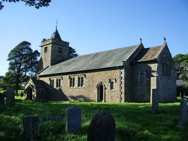
Christ Church, Over Wyresdale
Historic churches · 1.6 km

Tarnbrook
Villages · 2.3 km

Marshaw
Villages · 2.6 km
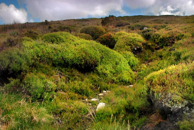
Hawthornthwaite Fell Top
Mountains & hills · 3.2 km
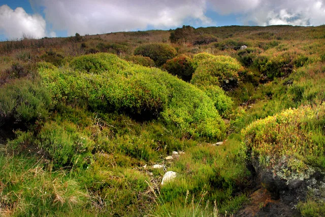
Hawthornthwaite Fell
Natural landmarks · 3.3 km

Greave Clough Head
Mountains & hills · 4.1 km
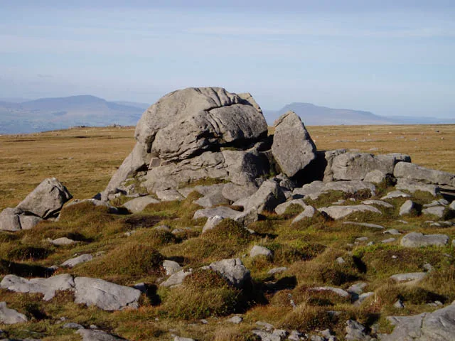
Ward's Stone (West)
Mountains & hills · 4.4 km

Grit Fell
Mountains & hills · 4.5 km
Nearby
📷 3Historic bridges · North West England
Stoops Bridge
Stoops Bridge — Grade II listed building-listed bridge in england-north-west, United Kingdom.
📷 3📷 3Historic bridges · North West England
Lee Bridge
Lee Bridge — Grade II listed building-listed bridge in england-north-west, United Kingdom.
📷 4Historic bridges · North West England
Grizedale Bridge
Grizedale Bridge — Grade II listed building-listed bridge in england-north-west, United Kingdom.
📷 3Historic churches · North West England
Christ Church, Over Wyresdale
Christ Church, Over Wyresdale — grade II listed church in Over Wyresdale, Lancaster, Lancashire, England, UK.
📷 5Where to eat & stay near Abbeystead House
Places to stay
 📷 5
📷 5Caravan parks · North West England
Wyreside Lakes Fishery & Campsite
Wyreside Lakes Fishery & Campsite — a caravan park in england north west.
 📷 5
📷 5Campsites · North West England
Fell view
Fell view — a campsite in england north west.
 📷 5
📷 5Caravan parks · North West England
Lower Kit Brow Caravan Site
Lower Kit Brow Caravan Site — a caravan park in england north west.
 📷 5
📷 5 📷 5
📷 5Campsites · North West England
Littledale Scout Camp
Littledale Scout Camp — a campsite in england north west.
 📷 5
📷 5Campsites · North West England
Crossghyll Farm Camping Pods
Crossghyll Farm Camping Pods — a campsite in england north west.
Places to eat & drink
 📷 5
📷 5Historic pubs · North West England
The Stork
The Stork — Historic pub — listed building or notable heritage status.
 📷 5
📷 5Historic pubs · North West England
Toll House Inn Hotel
Toll House Inn Hotel — Historic pub — listed building or notable heritage status.
 📷 3
📷 3Historic pubs · North West England
The Borough
The Borough — Historic pub — listed building or notable heritage status.
 📷 5
📷 5Historic pubs · North West England
Brown Cow Public House
Brown Cow Public House in England North West, United Kingdom.
 📷 7
📷 7Historic pubs · North West England
Ring O' Bells Public House
Ring O' Bells Public House in England North West, United Kingdom.
 📷 5
📷 5More abbeys in this region
 ★ Iconic📷 3
Abbeys & priories · North West England
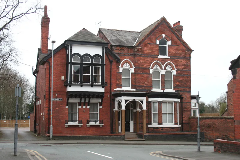
47, Delamere Street
47, Delamere Street — Grade II listed house in Crewe, Cheshire East, Cheshire, CW1.
 📷 3
📷 3Abbeys & priories · North West England
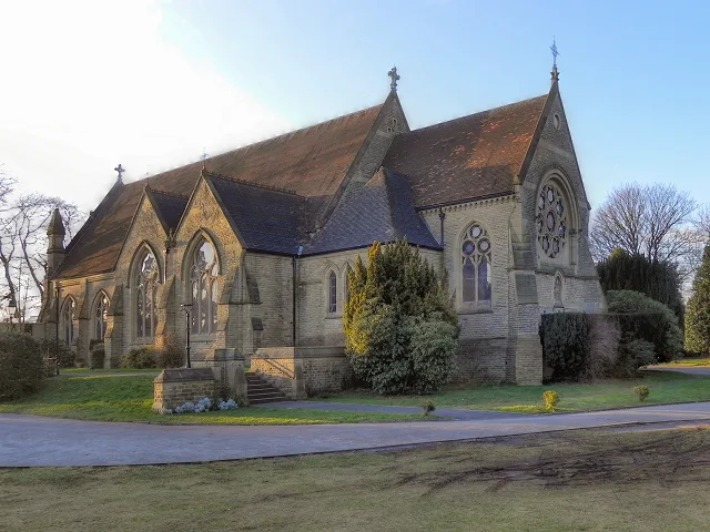
Church of St John the Divine, Brooklands
Church of St John the Divine, Brooklands — church in Trafford, Greater Manchester, England, UK.
 📷 5
📷 5Abbeys & priories · North West England
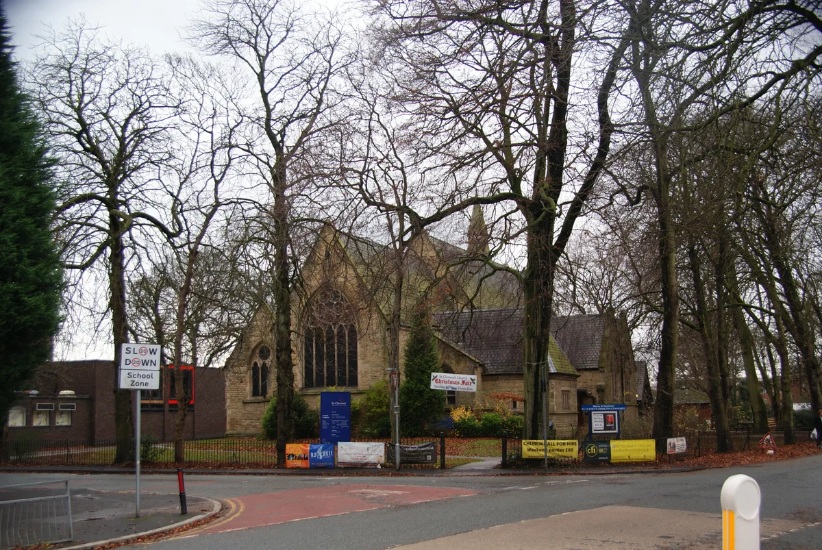
St Clement's Church
St Clement's Church — church in Chorlton-cum-Hardy, Manchester, England.
 📷 3
📷 3Abbeys & priories · North West England
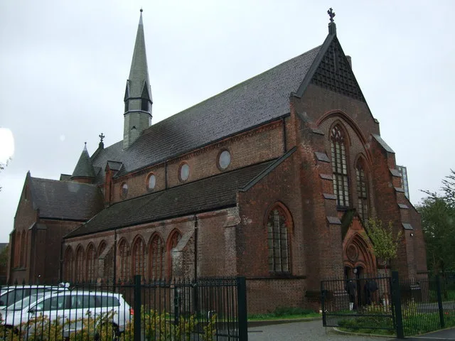
St Clement's Church, Ordsall
St Clement's Church, Ordsall — grade II listed church in Salford, Greater Manchester, England, UK.
Frequently asked questions
- Where is Abbeystead House?
- Abbeystead House is in Lancashire, North-West England, United Kingdom (postcode LA2 9BH), in the parish of Over Wyresdale.
- What is Abbeystead House?
- Abbeystead House — a Grade II-listed abbey in england-north-west, United Kingdom.
- How do I get to Abbeystead House?
- The nearest town is Abbeystead. Drivers can use postcode LA2 9BH.
- When was Abbeystead House built?
- Built or established in 1886.
- Who owns Abbeystead House?
- Abbeystead House is owned by | designation1 = Grade II.
- Is Abbeystead House a listed building?
- Abbeystead House is officially recognised as Grade II listed.
- Is Abbeystead House a protected site?
- Yes — Abbeystead House is part of the Bowland Fells SSSI Site of Special Scientific Interest and the Forest Of Bowland National Landscape (AONB).
- How do I get to Abbeystead House?
- Drivers can navigate to postcode LA2 9BH. It sits within the Lancaster and Wyre parliamentary constituency.