
Islands · Central Scotland
A846 road
In or near Ballygrant.
A846 road in Inner Hebrides + Skye, United Kingdom.

thejackrustles — CC BY-SA 2.0 via Wikimedia Commons licence

Plan your visit
- Typical visit
- 4 h–12 h
- Free entry
- Dog-friendly
About
A846 road is a place of interest in Inner Hebrides + Skye, United Kingdom — drawn from open-data sources for visitor reference. See the linked Wikipedia article for the full description.
Photo gallery
Official information
The A846 road is a scenic route located in the UK, offering picturesque views and access to various attractions along its path. It connects several key locations, making it a popular choice for travelers exploring the area.
From the Wikipedia article
The A846 road is one of the two principal roads of Islay in the Inner Hebrides off the west coast of mainland Scotland and the only 'A' road on the neighbouring island of Jura. A ferry connects the two islands across the Sound of Islay. It connects Lussagiven on Jura with Ardbeg on Islay (via a ferry crossing) which is a distance of some 47.6 miles (76.6 km) by road – considerably less by boat. The road goes further north than Lussagiven but as a minor road through Ardlussa and Lealt and then as a track to Kinuachdrachd. The road also goes further than Ardbeg, going through Kintour and as a track to Ardtalla.
Excerpt from Wikipedia under CC BY-SA 4.0. See the source article linked in Sources below.
- Coordinates
- 55.8424, -6.0881
- District
- Argyll and Bute
- Postcode
- PA46 7RE
- Parliamentary constituency
- Argyll, Bute and South Lochaber
- Official site
- maps.google.co.uk
Sources
Other places nearby

Feolin Ferry
Islands · 0.9 km

Dunlossit House, Port Askaig, Islay
Historic houses · 1.1 km

Sound of Islay
Reservoirs & lochs · 1.1 km

Islay Lifeboat Station
Islands · 1.2 km

Port Askaig Hotel
Hotels · 1.2 km

Piermasters Shipping Office (D. Macbranes) House And Post Office Port Askaig
Historic houses · 1.3 km

Post Office And Shop, Houses, Port Askaig, Islay
Historic houses · 1.3 km

Port Askaig
Islands · 1.3 km

Eas Forsa
Natural landmarks · 1.6 km

Eas Forsa
Waterfalls · 1.6 km

Lily Loch
Lakes · 1.6 km

Ballochray
Vineyards · 1.8 km
Nearby
📷 5📷 3Historic houses · Central Scotland
Dunlossit House, Port Askaig, Islay
Dunlossit House, Port Askaig, Islay — architectural structure in Argyll and Bute, Scotland, UK.
📷 4Reservoirs & lochs · Central Scotland
Sound of Islay
Sound of Islay in Inner Hebrides + Skye, United Kingdom.
📷 4Islands · Central Scotland
Islay Lifeboat Station
Islay Lifeboat Station in Inner Hebrides + Skye, United Kingdom.
📷 5Hotels · Central Scotland
Port Askaig Hotel
Port Askaig Hotel — a hotel in scotland highlands.
📷 3Historic houses · Central Scotland
Piermasters Shipping Office (D. Macbranes) House And Post Office Port Askaig
Piermasters Shipping Office (D. Macbranes) House And Post Office Port Askaig — post office in Argyll and Bute, Scotland, UK.
Where to eat & stay near A846 road
Places to stay
📷 5Hotels · Central Scotland
Port Askaig Hotel
Port Askaig Hotel — a hotel in scotland highlands.
 📷 5
📷 5Campsites · Central Scotland
Jura Hotel campsite
Jura Hotel campsite — a campsite in scotland highlands.
 📷 5
📷 5Hotels · Central Scotland
Bridgend Hotel
Bridgend Hotel — a hotel in scotland highlands.
 📷 5
📷 5 📷 5
📷 5 📷 5
📷 5Hostels · Scottish Lowlands
Port Charlotte Youth Hostel
Port Charlotte Youth Hostel — a hostel in scotland highlands.
More places in this region
 Flagship📷 5
Islands · Central Scotland
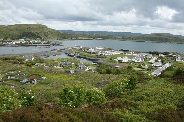
Easdale
Easdale — one of the Slate Islands, in the Firth of Lorn, Scotland.
 Flagship📷 5
Islands · Central Scotland
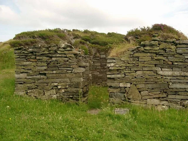
Eileach an Naoimh
Eileach an Naoimh — uninhabited island, Garvellachs, Scotland.
 Flagship📷 3
Islands · Central Scotland
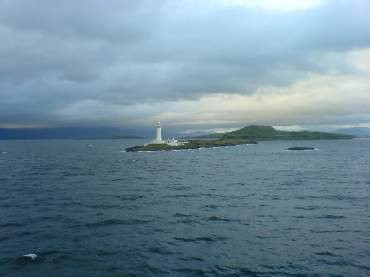
Eilean Musdile
Eilean Musdile — an islet to the south west of Lismore in the Inner Hebrides.
 📷 5
📷 5Islands · Central Scotland
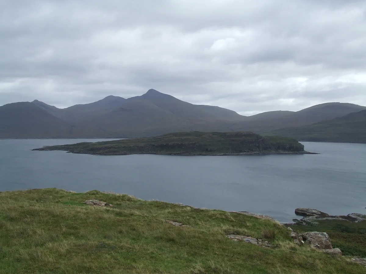
Eorsa
Eorsa — island. Off the coast of Mull, Scotland, in United Kingdom.
Frequently asked questions
- Where is A846 road?
- A846 road is in the Scottish Islands, United Kingdom (postcode PA46 7RE).
- What is A846 road?
- A846 road in Inner Hebrides + Skye, United Kingdom.
- How do I get to A846 road?
- Drivers can use postcode PA46 7RE.
- Is A846 road free to visit?
- Yes, A846 road is free to enter.
- How do I get to A846 road?
- Drivers can navigate to postcode PA46 7RE. It sits within the Argyll, Bute and South Lochaber parliamentary constituency.