Other places · Scottish Highlands
A836 road
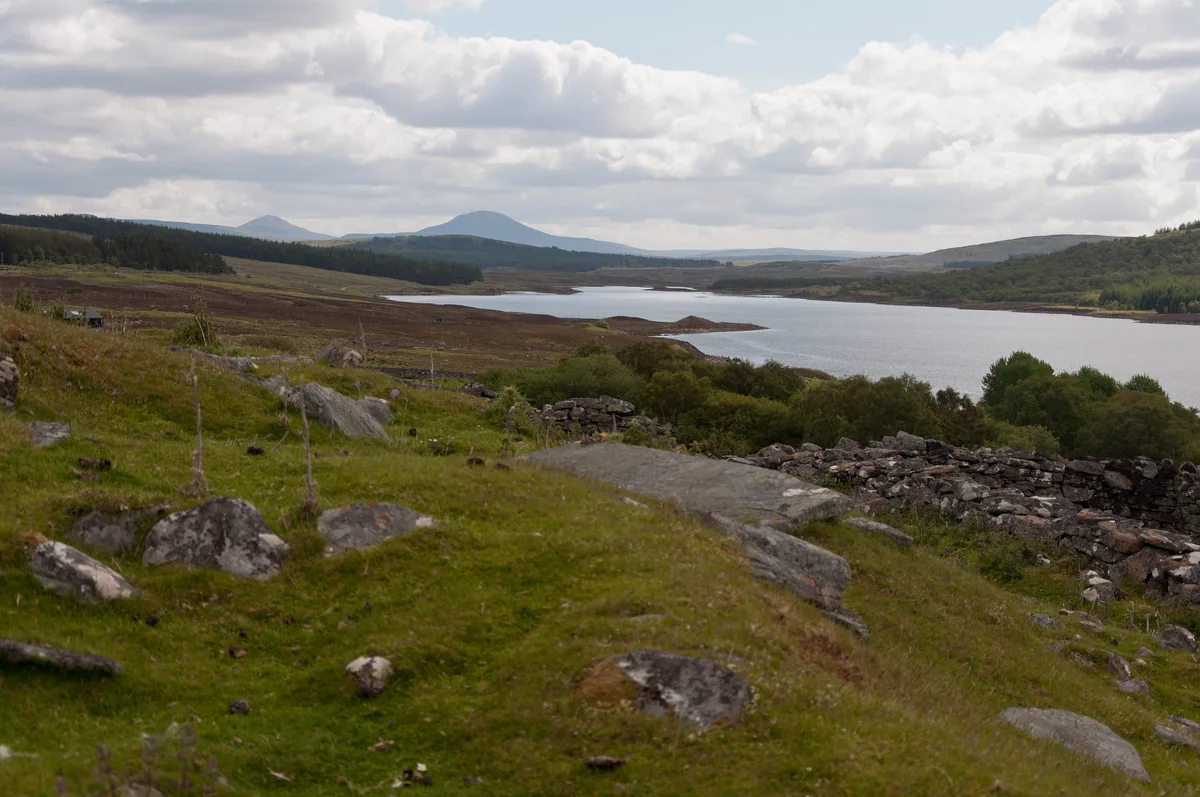
A836 road in Scotland Islands, United Kingdom.

Alan Reid — CC BY-SA 2.0 via Wikimedia Commons licence
Plan your visit
- Typical visit
- 1 h–2 h
About
A836 road is a place of interest in Scotland Islands, United Kingdom — drawn from open-data sources for visitor reference. See the linked Wikipedia article for the full description.
Photo gallery
From the Wikipedia article
The A836 is a major road entirely within the Highland area of Scotland. It is 122 miles (196 km) long and runs from Ross and Cromarty to Caithness, with the majority of its length in Sutherland. At 58.648°N where it passes through East Mey, it is the northernmost A-class road in mainland Great Britain.
Excerpt from Wikipedia under CC BY-SA 4.0. See the source article linked in Sources below.
- Coordinates
- 58.3266, -4.4307
- Established
- 1922
Sources
Other places nearby
Loading nearby places…
Nearby
 📷 5
📷 5Historic bridges · Scottish Highlands
Altnaharra Bridge
Altnaharra Bridge — category B listed building-listed bridge in scotland-highlands, United Kingdom.
 📷 5
📷 5Historic bridges · Scottish Highlands
Inchkinloch Bridge
Inchkinloch Bridge — category B listed building-listed bridge in scotland-highlands, United Kingdom.
 📷 3
📷 3Reservoirs & lochs · Scottish Highlands
Altnaharra
Altnaharra in Scotland Islands, United Kingdom.
 📷 3
📷 3Natural landmarks · Scottish Highlands
Loch Naver
Loch Naver — lake in Highland, Scotland, UK, outflows to the River Naver.
 📷 2
📷 2Archaeological sites · Scottish Highlands
Coill' Ach' a' Chùil Broch
Coill' Ach' a' Chùil Broch — a archaeological in scotland-highlands, United Kingdom.
 📷 2
📷 2Mountains & hills · Scottish Highlands
Sgòr a' Chléirich
Sgòr a' Chléirich — a mountain in scotland-highlands, United Kingdom.
More places in this region
 📷 3
📷 3Other places · Scottish Highlands
Arboreal
Arboreal — Public artwork (poem) by Richard Livermore.
 📷 3
📷 3Other places · Scottish Highlands
Aspiration
Aspiration — Public artwork (sculpture) by Keith McCarter.
 📷 3
📷 3Other places · Scottish Highlands
Both nam Faileas
Both nam Faileas — Public artwork (architecture) by Chris Drury.
 📷 3
📷 3Other places · Scottish Highlands
Casting
Casting — Public artwork (poem) by Morgan Downie.
Frequently asked questions
- Where is A836 road?
- A836 road is in Scottish Highlands, in the United Kingdom — coordinates 58.3266°, -4.4307°.
- When was A836 road built?
- A836 road dates to 1922.