Forts · Scottish Highlands
A830 road
A830 road in Scotland Islands, United Kingdom.

Dave Fergusson — CC BY-SA 2.0 via Wikimedia Commons licence
Plan your visit
- Typical visit
- 45 min–1.5 h
- Nearest railway station
- Glenfinnan · 2.4 km
About
A830 road is a place of interest in Scotland Islands, United Kingdom — drawn from open-data sources for visitor reference. See the linked Wikipedia article for the full description.
Photo gallery
See it from the streetimagery from 2021
Imagery © Mapillary contributors, CC BY-SA 4.0
From the Wikipedia article
The A830, also known as the Road to the Isles (though it forms only a part of the historic route) is a major road in Lochaber, Scottish Highlands. It connects the town of Fort William to the port of Mallaig.
Excerpt from Wikipedia under CC BY-SA 4.0. See the source article linked in Sources below.
Background
History
in 2005, when it was still a single-track road]] The historic Road to the Isles is an ancient drove road which leaves General Wade's military road from Stirling to Inverness at Tummel Bridge, along the northern banks of the River Tummel and Loch Rannoch roughly along the present day B846. Where today's road runs out the old road continued over Rannoch Moor past Corrour Old Lodge towards Kings House on the A82, over the Devil's Staircase and past Kinlochleven, to meet the present A830 at Fort William. Before the 19th century, there was no established road beyond Glenfinnan. The area beyond this to Mallaig was known as the Na Garbh-Chriochain (The Rough Bounds) and was part of the Lordship of…
Sourced from Wikipedia under CC BY-SA 4.0.
- Coordinates
- 56.8784, -5.4868
- District
- Highland
- Postcode
- PH37 4LP
- Parliamentary constituency
- Inverness, Skye and West Ross-shire
- Nearest railway station
- Glenfinnan — 2.4 km
Sources
Other places nearby

Cairn with Cross at Allt an Untha
Memorials & monuments · 0.2 km

An t-Sleubhaich
Mountains & hills · 1.4 km
An t-Sleubhaich
Mountains & hills · 1.4 km

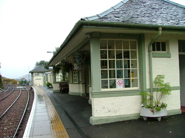
Lech-a-Vuie Platform railway station
Reservoirs & lochs · 1.7 km

Sgurr a' Mhuidhe
Mountains & hills · 1.7 km
Sgurr a' Mhuidhe
Mountains & hills · 1.8 km

Sgùrr an Utha
Mountains & hills · 2.3 km

The Sleeping Car
Hostels · 2.4 km
Glenfinnan Station Museum
Museums · 2.4 km

Glenfinnan railway station
Historic bridges · 2.4 km

Sgurr an Utha
Mountains & hills · 2.4 km

Sgùrr an Utha and Fraoch-bheinn
Mountains & hills · 2.5 km
Nearby
📷 3Memorials & monuments · Scottish Highlands
Cairn with Cross at Allt an Untha
Cairn with Cross at Allt an Untha — a memorial in scotland-highlands, United Kingdom.
📷 5Mountains & hills · Scottish Highlands
An t-Sleubhaich
An t-Sleubhaich — a hill or mountain in scotland highlands.
📷 5Mountains & hills · Scottish Highlands
An t-Sleubhaich
An t-Sleubhaich — mountain in scotland highlands. Elevation: 533 m.
📷 4Reservoirs & lochs · Scottish Highlands
Lech-a-Vuie Platform railway station
Lech-a-Vuie Platform railway station in Scotland Islands, United Kingdom.
📷 5Mountains & hills · Scottish Highlands
Sgurr a' Mhuidhe
Sgurr a' Mhuidhe — a hill or mountain in scotland highlands.
📷 5Mountains & hills · Scottish Highlands
Sgurr a' Mhuidhe
Sgurr a' Mhuidhe — mountain in scotland highlands. Elevation: 562 m.
Where to eat & stay near A830 road
Places to stay
📷 5 📷 5
📷 5Hostels · Scottish Highlands
Ariundle Centre
Ariundle Centre — a hostel in scotland highlands.
 📷 5
📷 5Campsites · Scottish Highlands
Long Beach Campsite
Long Beach Campsite — a campsite in scotland highlands.
 📷 5
📷 5Campsites · Scottish Highlands
Linnhe Lochside Holiday Park
Linnhe Lochside Holiday Park — a campsite in scotland highlands.
 📷 5
📷 5 📷 5
📷 5Hostels · Scottish Highlands
Knoydart Foundation Bunkhouse
Knoydart Foundation Bunkhouse — a hostel in scotland highlands.
More forts in this region
 📷 3
📷 3 📷 3
📷 3Forts · Scottish Highlands
Battle of Aberdeen
Battle of Aberdeen is a fort in the United Kingdom.
 📷 3
📷 3 📷 2
📷 2Forts · Scottish Highlands
Battle of Alltacoilcachan A.D. 1594
Battle of Alltacoilcachan A.D. 1594 is a fort in the United Kingdom.
Frequently asked questions
- Where is A830 road?
- A830 road is in the Scottish Highlands, United Kingdom (postcode PH37 4LP).
- What is A830 road?
- A830 road in Scotland Islands, United Kingdom.
- How do I get to A830 road?
- The nearest railway station is Glenfinnan, about 2.4 km away. Drivers can use postcode PH37 4LP.
- How do I get to A830 road?
- The nearest railway station is Glenfinnan, about 2.4 km away. Drivers can navigate to postcode PH37 4LP.