Castles · North East England
A688 road
In or near West Auckland.
A688 road in England North East, United Kingdom.

Stanley Howe — CC BY-SA 2.0 via Wikimedia Commons licence
Plan your visit
- Typical visit
- 1.5 h–3 h
- Nearest railway station
- Bishop Auckland West · 3.2 km
- Family-friendly
- Limited wheelchair access
About
A688 road is a place of interest in England North East, United Kingdom — drawn from open-data sources for visitor reference. See the linked Wikipedia article for the full description.
Photo gallery
From the Wikipedia article
The A688 is a road in County Durham in North East England. It begins at the junction with the A67 road in Barnard Castle and continues in a north easterly direction for 25 miles (40 km), terminating at the A181 to the east of Durham City.
Excerpt from Wikipedia under CC BY-SA 4.0. See the source article linked in Sources below.
- Coordinates
- 54.6352, -1.7136
- District
- County Durham
- Parish
- County Durham, unparished area
- Postcode
- DL14 9EP
- Parliamentary constituency
- Bishop Auckland
- Nearest railway station
- Bishop Auckland West — 3.2 km
Sources
Other places nearby

Wheatsheaf Public House
Historic pubs · 0.0 km

West Auckland railway station
Castles · 0.1 km
Gaunless Bridge
Historic bridges · 0.2 km

Church of St Helen, Auckland
Historic churches · 0.3 km
St Helen Auckland
Historic churches · 0.4 km

St Helen Hall
Historic houses · 0.4 km

First World Cup Winners
Public art & sculpture · 0.6 km

West Auckland
Towns & cities · 0.6 km

The Manor House Hotel & Country Club
Hotels · 0.7 km

West Auckland Town F.C.
Stadiums · 0.8 km

The Eden Arms Public House
Historic pubs · 0.9 km
Remains of the Stockton and Darlington Railway
Archaeological sites · 0.9 km
Nearby
📷 5Historic pubs · North East England
Wheatsheaf Public House
Wheatsheaf Public House in Scotland Lowlands, United Kingdom.
📷 3Castles · North East England
West Auckland railway station
West Auckland railway station in England North East, United Kingdom.
📷 5Historic bridges · North East England
Gaunless Bridge
Gaunless Bridge in England North East, United Kingdom.
📷 5Historic churches · North East England
Church of St Helen, Auckland
Church of St Helen, Auckland — Grade I listed church, County Durham, England, UK.
📷 5Historic churches · North East England
St Helen Auckland
St Helen Auckland in England North East, United Kingdom.
📷 3Historic houses · North East England
St Helen Hall
St Helen Hall — Grade I listed house in St Helen Auckland, County Durham, England, UK.
Where to eat & stay near A688 road
Places to stay
📷 7Hotels · North East England
The Manor House Hotel & Country Club
The Manor House Hotel & Country Club — a hotel in scotland lowlands.
 📷 5
📷 5Caravan parks · North East England
Meadow Farm Caravan Park and Campsite
Meadow Farm Caravan Park and Campsite — a caravan park in scotland lowlands.
 📷 5
📷 5Caravan parks · North East England
Craggwood Holiday Home Park Riverside Touring Park
Craggwood Holiday Home Park Riverside Touring Park — a caravan park in scotland lowlands.
 📷 5
📷 5Caravan parks · North East England
Country View Caravan & Camping Site
Country View Caravan & Camping Site — a caravan park in england north east.
 📷 5
📷 5Campsites · North East England
Gurney Valley Traveller stop over area
Gurney Valley Traveller stop over area — a campsite in scotland lowlands.
 📷 5
📷 5Caravan parks · North East England
Middridge Meadows
Middridge Meadows — a caravan park in scotland lowlands.
Places to eat & drink
📷 5Historic pubs · North East England
Wheatsheaf Public House
Wheatsheaf Public House in Scotland Lowlands, United Kingdom.
📷 7Historic pubs · North East England
The Eden Arms Public House
The Eden Arms Public House in Scotland Lowlands, United Kingdom.
 📷 5
📷 5Historic pubs · North East England
Henknowle Manor Public House
Henknowle Manor Public House in Scotland Lowlands, United Kingdom.
 📷 5
📷 5Historic pubs · North East England
Green Tree Public House
Green Tree Public House in Scotland Lowlands, United Kingdom.
 📷 5
📷 5Historic pubs · North East England
Bay Horse Public House
Bay Horse Public House in Scotland Lowlands, United Kingdom.
 📷 5
📷 5Historic pubs · North East England
Coopers Public House
Coopers Public House in Scotland Lowlands, United Kingdom.
More castles in this region
 📷 3
📷 3Castles · North East England
Scargill Castle
Scargill Castle — house in Scargill, County Durham, England, UK.
 📷 3
📷 3Castles · North East England
Roper Castle or Round Table (Roman Signal Station)
Roper Castle or Round Table (Roman Signal Station) — a castle in england-north-west, United Kingdom.
 📷 5
📷 5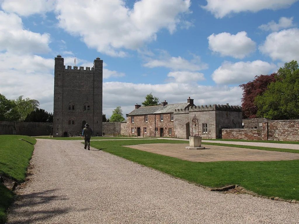 📷 5
📷 5Castles · North East England
Appleby Castle
Appleby Castle — Grade I listed English country house in Appleby-in-Westmorland, United Kingdom.
Frequently asked questions
- Where is A688 road?
- A688 road is in North-East England, United Kingdom (postcode DL14 9EP), in the parish of County Durham, unparished area.
- What is A688 road?
- A688 road in England North East, United Kingdom.
- How do I get to A688 road?
- The nearest railway station is Bishop Auckland West, about 3.2 km away. Drivers can use postcode DL14 9EP.
- Does A688 road charge admission?
- A688 road typically charges admission. Check the official site for current ticket prices and opening hours.
- How do I get to A688 road?
- The nearest railway station is Bishop Auckland West, about 3.2 km away. Drivers can navigate to postcode DL14 9EP.