
Other places · Mid Wales
A487 road
Also known as: Ffordd yr A487
In or near Aberdyfi.
A487 road in Wales Mid, United Kingdom.

JThomas — CC BY-SA 2.0 via Wikimedia Commons licence

Plan your visit
- Typical visit
- 1 h–2 h
- Nearest railway station
- Penhelyg · 5.3 km
About
A487 road is a place of interest in Wales Mid, United Kingdom — drawn from open-data sources for visitor reference. See the linked Wikipedia article for the full description.
Photo gallery
See it from the streetimagery from 2026
Imagery © Mapillary contributors, CC BY-SA 4.0
Official information
The A487 road is a significant route in Wales, connecting various towns and scenic areas. It offers travelers access to beautiful landscapes and local attractions along its path.
From the Wikipedia article
The A487, officially the Fishguard to Bangor Trunk Road, is a trunk road in Wales that follows the coast from Haverfordwest, Pembrokeshire, in the south, to Bangor, Gwynedd, in the north.
Excerpt from Wikipedia under CC BY-SA 4.0. See the source article linked in Sources below.
Background
History
The section of road in the Dulas valley between the River Dyfi near Machynlleth and Corris was built in the 1840s at the instigation of the local slate quarry owners to replace the old turnpike road on the opposite side of the valley. It may have utilised part of the formation of the Roman Sarn Helen. From 1859, the narrow-gauge Corris Railway followed the same route. The site of Dolgellau railway station, along with approximately 1.5 mi of trackbed of the Ruabon–Barmouth line, was used to construct the Dolgellau bypass in the late 1970s. In 1989–90, Cardigan was bypassed south of the town with a new Priory Bridge over the River Teifi and a short 3-lane section between the bridge and the…
Sourced from Wikipedia under CC BY-SA 4.0.
- Coordinates
- 52.5159, -3.9735
- District
- Ceredigion
- Parish
- Llangynfelyn
- Postcode
- SY20 8PN
- Parliamentary constituency
- Ceredigion Preseli
- Nearest railway station
- Penhelyg — 5.3 km
- Official site
- maps.google.co.uk
Sources
Other places nearby

The Wildfowler
Restaurants · 0.5 km

Pont Tre'r Ddol
Historic bridges · 0.5 km

Craig-y-penrhyn
Other places · 0.6 km
Llangynfelyn
Reservoirs & lochs · 0.7 km

Coed Cwm Cletwr
Other places · 0.9 km

Tre-Taliesin
Memorials & monuments · 1.4 km

Neuaddyrynys
Other places · 1.4 km

Cefn-erglodd
Mountains & hills · 1.5 km

Ynys Llancynfelyn
Mountains & hills · 1.6 km

St Cynfelyn's Church
Historic churches · 1.7 km

Cefngweiriog
Mountains & hills · 1.8 km
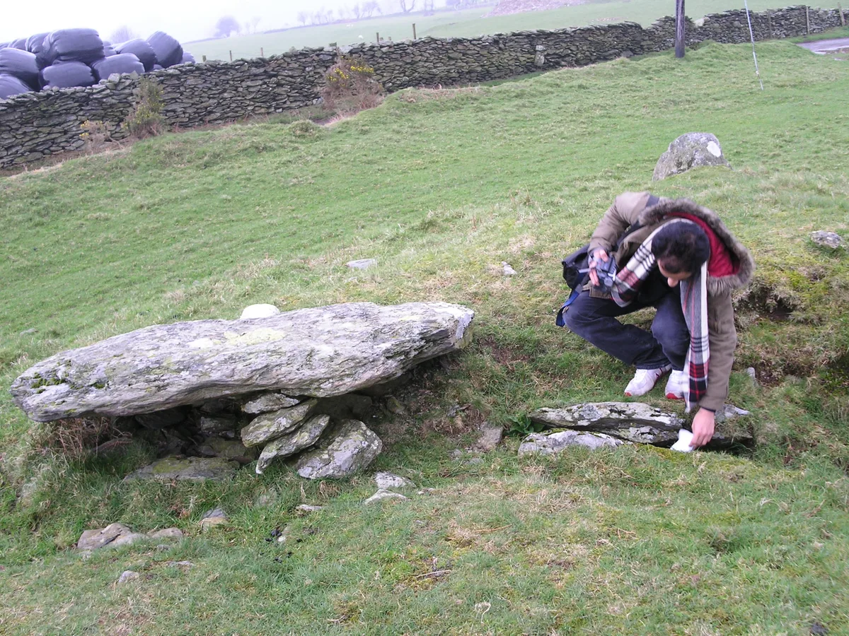
Bedd Taliesin
Hill forts · 1.8 km
Nearby
📷 7📷 5Historic bridges · Mid Wales
Pont Tre'r Ddol
Pont Tre'r Ddol — Grade II listed building-listed bridge in wales-mid, United Kingdom.
📷 3📷 4Reservoirs & lochs · Mid Wales
Llangynfelyn
Llangynfelyn in Wales Mid, United Kingdom.
📷 4📷 4Where to eat & stay near A487 road
Places to stay
 📷 5
📷 5Caravan parks · Mid Wales
Ty Mawr Caravan Holiday Park
Ty Mawr Caravan Holiday Park — a caravan park in wales mid.
 📷 5
📷 5 📷 5
📷 5 📷 5
📷 5Campsites · Mid Wales
Riverside Caravan And Camping Park
Riverside Caravan And Camping Park — a campsite in wales mid.
 📷 5
📷 5Caravan parks · Mid Wales
Golden Sands Caravan Park
Golden Sands Caravan Park — a caravan park in wales mid.
📷 5Places to eat & drink
📷 7 📷 5
📷 5Restaurants · Mid Wales
The White Lion Hotel
The White Lion Hotel — a restaurant in wales mid.
 📷 5
📷 5 📷 5
📷 5Cafés · Mid Wales
Llywernog Silver Lead Mine
Llywernog Silver Lead Mine — a café in wales mid.
 📷 7
📷 7 📷 6
📷 6More places in this region
 📷 5
📷 5 📷 3
📷 3Other places · Mid Wales
Sheep Music
Sheep Music is a three-day world music festival which takes place during July each year in Presteigne. It has 22 years of history, starting as a party on The Warden in 1991. Since moving to its curren
 📷 2
📷 2 📷 4
📷 4Frequently asked questions
- Where is A487 road?
- A487 road is in Mid Wales, United Kingdom (postcode SY20 8PN), in the parish of Llangynfelyn.
- What is A487 road?
- A487 road in Wales Mid, United Kingdom.
- How do I get to A487 road?
- The nearest railway station is Penhelyg, about 5.3 km away. Drivers can use postcode SY20 8PN.
- How do I get to A487 road?
- The nearest railway station is Penhelyg, about 5.3 km away. Drivers can navigate to postcode SY20 8PN.