
Natural landmarks · Northern Ireland
A46 road
In or near Derrygonnelly.
A46 road in Northern Ireland, United Kingdom.

Kenneth Allen — CC BY-SA 2.0 via Wikimedia Commons licence

Plan your visit
- Typical visit
- 1 h–2 h
- Free entry
- Dog-friendly
About
A46 road is a place of interest in Northern Ireland, United Kingdom — drawn from open-data sources for visitor reference. See the linked Wikipedia article for the full description.
Photo gallery
From the Wikipedia article
The A46 is a road in County Fermanagh, in Northern Ireland. It forms part of the route from Dublin to Ballyshannon (County Donegal). It stretches 23.6 miles from Enniskillen to Belleek along the southwestern shoreline of Lower Lough Erne. In Enniskillen the A46 connects with the following roads including the A4, A32 and the A509 road. The A46 road leaves the island town of Enniskillen and connects with the A4 which connects with Belfast and also westwards along the Sligo Road to Belcoo and Sligo. The A46 road runs along the Ballyshannon Road which has a park on the left called Brooke Park and The Round O. Portora Royal School is on a drumlin to the right of the road continues northwesterly leaving the Enniskillen at Silverhill before heading into the countryside of the Ulster Lakeland, with farms and golf courses and woodland and glimpses of Lower Lough Erne. Further along nearer to Belleek the opposite shore has the mountains of County Donegal in view whilst the road is below some of the County Fermanagh mountains. The mountains recede from view as farmland and villages appear the road and the River Erne is on the right then links into Corrycross Roads and the B52 to Belcoo and the A47 road into Belleek, the road then continues into Ballyshannon in County Donegal as the N3 which links into the N15 and into Bundoran. In Ballyshannon the N15 heading northwards connects with Donegal Town. In Ballyshannon certain road signs have destinations A46 Enniskillen with N3 Dublin with the requisite single arrow pointing in the same direction.
Excerpt from Wikipedia under CC BY-SA 4.0. See the source article linked in Sources below.
- Coordinates
- 54.4549, -7.8209
- District
- Fermanagh and Omagh
- Postcode
- BT93 6HX
- Parliamentary constituency
- Fermanagh and South Tyrone
Sources
- wikidata: Q4649341 (CC0)
- wikipedia: A46 road (Northern Ireland) (CC BY-SA 4.0)
Other places nearby

Church Hill
Villages · 0.6 km
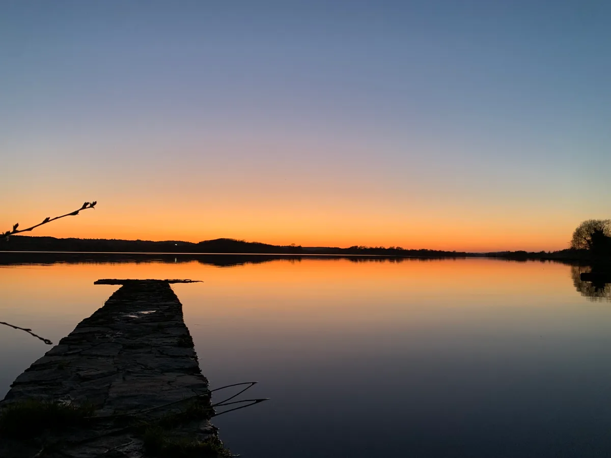
Lower Lough Erne
Natural landmarks · 1.0 km
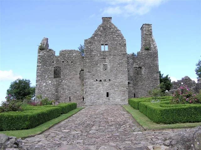
Tully Castle
Castles · 1.0 km

Blackslee waterfall
Waterfalls · 2.2 km

Cloud Viewer
Public art & sculpture · 2.3 km

Tully
Villages · 2.5 km

Derrygonnelly
Villages · 2.8 km

Carrick Lough
Lakes · 3.1 km
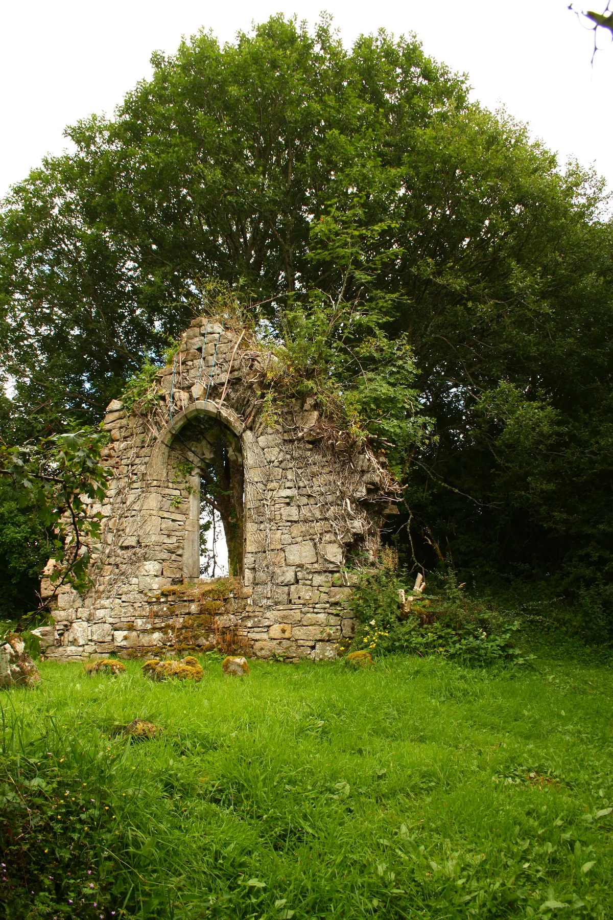
Carrick Church
Historic churches · 3.2 km
Carrick Church (Ruins)
Historic houses · 3.2 km

Lough Erne
Natural landmarks · 3.2 km

Derrygonnelly Harps GAC
Natural landmarks · 3.7 km
Nearby
📷 5📷 3Natural landmarks · Northern Ireland
Lower Lough Erne
Lower Lough Erne — lake in Northern Ireland.
📷 3Castles · Northern Ireland
Tully Castle
Tully Castle — castle in County Fermanagh, Northern Ireland.
📷 5Waterfalls · Northern Ireland
Blackslee waterfall
Blackslee waterfall — waterfall in northern ireland.
Public art & sculpture · Northern Ireland
Cloud Viewer
Cloud Viewer — a public art in northern-ireland, United Kingdom.
📷 5Where to eat & stay near A46 road
Places to stay
 📷 5
📷 5 📷 5
📷 5Caravan parks · Northern Ireland
Clareview Caravan Park
Clareview Caravan Park — a caravan park in northern ireland.
 📷 5
📷 5Caravan parks · Northern Ireland
Drumhoney Holiday Park
Drumhoney Holiday Park — a caravan park in northern ireland.
 📷 5
📷 5Caravan parks · Northern Ireland
Edgewater Holiday Park & Marina
Edgewater Holiday Park & Marina — a caravan park in northern ireland.
 📷 5
📷 5Hotels · Northern Ireland
Lough Erne Golf Resort
Lough Erne Golf Resort — a hotel in northern ireland.
 📷 5
📷 5Caravan parks · Northern Ireland
Rushin House Caravan Park
Rushin House Caravan Park — a caravan park in northern ireland.
More natural landmarks in this region
Flagship📷 4Natural landmarks · Northern Ireland
Lough Erne
Lough Erne — lake in County Fermanagh, Northern Ireland, UK.
 Flagship📷 4
Natural landmarks · Northern Ireland
Lough Neagh
Lough Neagh — large lake in Northern Ireland.
 📷 3
📷 3Natural landmarks · Northern Ireland
Ballysaggart Lough
Ballysaggart Lough — lake in the United Kingdom.
 📷 5
📷 5Natural landmarks · Northern Ireland
Belmore Mountain
Belmore Mountain — mountain in the United Kingdom.
Frequently asked questions
- Where is A46 road?
- A46 road is in Northern Ireland, United Kingdom (postcode BT93 6HX).
- What is A46 road?
- A46 road in Northern Ireland, United Kingdom.
- How do I get to A46 road?
- Drivers can use postcode BT93 6HX.
- Is A46 road free to visit?
- Yes, A46 road is free to enter.
- How do I get to A46 road?
- Drivers can navigate to postcode BT93 6HX. It sits within the Fermanagh and South Tyrone parliamentary constituency.