Mountains & hills · Scottish Highlands
A' Mhaoile
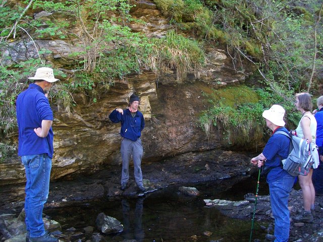
A' Mhaoile — mountain in scotland highlands. Elevation: 158 m.

Richard Dorrell — CC BY-SA 2.0 via Wikimedia Commons licence
Plan your visit
- Typical visit
- 3 h–8 h
- Best time of year
- Late spring – early autumn (May–Oct)
About
A' Mhaoile is a mountain located in scotland highlands. Elevation: 158 m. A named British peak recorded in OpenStreetMap. Peaks are typically named on Ordnance Survey 1:50k mapping.
Photo gallery
Place summary
A' Mhaoile is a mountain located in the Scottish Highlands. It is characterised by its rugged terrain and scenic views typical of the region. Visitors can expect a challenging landscape suitable for experienced hikers and outdoor enthusiasts. The area offers opportunities for exploration and appreciation of the natural beauty of the Highlands.
AI-generated from the structured facts on this page (operator, designation, listing, era). Not a substitute for visiting.
- Coordinates
- 57.1636, -5.8113
Sources
- osm: n2796448154 (ODbL)
Other places nearby
Loading nearby places…
Nearby
📷 5Mountains & hills · Scottish Highlands
A' Mhaoile
A' Mhaoile — a hill or mountain in scotland highlands.
 📷 4
📷 4Islands · Scottish Islands
A851 road
A851 road in Scotland Islands, United Kingdom.
 📷 3
📷 3Historic houses · Scottish Highlands
Kinloch Farm
Kinloch Farm — a historic house in scotland-highlands, United Kingdom.
 📷 5
📷 5Mountains & hills · Scottish Highlands
Meall Buidhe
Meall Buidhe — mountain in scotland highlands. Elevation: 168 m.
 📷 5
📷 5Islands · Scottish Islands
Isleornsay
Isleornsay in Scotland Islands, United Kingdom.
 📷 5
📷 5Marinas · Scottish Highlands
Isleornsay harbour
Isleornsay harbour — a marina in scotland highlands.
Where to eat & stay near A' Mhaoile
Places to stay
 📷 5
📷 5Hostels · Scottish Highlands
Flora MacDonald Hostel
Flora MacDonald Hostel — a hostel in scotland highlands.
 📷 5
📷 5Hostels · Scottish Highlands
Skye Basecamp
Skye Basecamp — a hostel in scotland highlands.
 📷 5
📷 5Hostels · Scottish Highlands
Broadford Backpackers Hostel
Broadford Backpackers Hostel — a hostel in scotland highlands.
 📷 5
📷 5Hostels · Scottish Highlands
Broadford Youth Hostel
Broadford Youth Hostel — a hostel in scotland highlands. Brand: Hostelling Scotland.
 📷 5
📷 5Campsites · Scottish Highlands
Camping Skye
Camping Skye — a campsite in scotland highlands.
 📷 5
📷 5Hostels · Scottish Highlands
Skye Backpackers
Skye Backpackers — a hostel in scotland highlands.
More mountains in this region
 📷 3
📷 3Mountains & hills · Scottish Highlands
A' Bhuidheanach Bheag
A' Bhuidheanach Bheag — Named summit at 936 m.
 📷 3
📷 3Mountains & hills · Scottish Highlands
A' Chailleach
A' Chailleach — Named summit at 997 m.
 📷 3
📷 3Mountains & hills · Scottish Highlands
A' Chailleach
A' Chailleach — Named summit at 930 m.
 📷 3
📷 3Mountains & hills · Scottish Highlands
A' Chaoirnich
A' Chaoirnich — Named summit at 875 m.
Frequently asked questions
- Where is A' Mhaoile?
- A' Mhaoile is in the Scottish Highlands, United Kingdom.
- What is A' Mhaoile?
- A' Mhaoile — mountain in scotland highlands. Elevation: 158 m.
- How do I get to A' Mhaoile?
- Its coordinates are 57.1636°, -5.8113°.