
Gardens · London
549 Lordship Lane
In or near Shortlands.
549 Lordship Lane — a garden in england-london, United Kingdom.

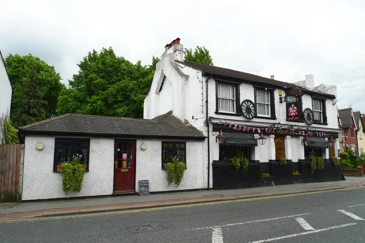
Malc McDonald — CC BY-SA 2.0 via Wikimedia Commons licence

Plan your visit
- Typical visit
- 1 h–2.5 h
- Best time of year
- Spring & summer (Apr–Sep)
- Nearest railway station
- Forest Hill · 1.0 km
- Free entry
- Dog-friendly
Getting there & planning your visit
To visit 549 Lordship Lane, the nearest railway station is Forest Hill, located 1 km away. Entry to the garden is free. The postcode for sat-nav is SE22 0BU.
About
549 Lordship Lane is a garden of interest in england-london, United Kingdom — drawn from open-data sources for visitor reference. See the linked Wikipedia article for the full description.
Photo gallery
See it from the streetimagery from 2025
Imagery © Mapillary contributors, CC BY-SA 4.0
Summary from the official site
The Horniman Museum and Gardens offer a variety of attractions including a museum, gardens, an aquarium, and a butterfly house. Visitors can explore natural history exhibits, enjoy the outdoor gardens, and participate in various events and exhibitions, some of which may require a fee.
Read more on the official property page.
From the Wikipedia article
549 Lordship Lane, also known as the Concrete House, is a house on Lordship Lane in East Dulwich, close to the junction with Underhill Road and opposite St Peter's Church. The Gothic Revival house is an early example of a modern domestic dwelling constructed of concrete. It became a grade II listed building in 1994. The house may have been designed by Charles Barry Jr. (1823-1900) (son of Sir Charles Barry who worked on the Houses of Parliament), possibly as a rectory or parsonage to accompany his Gothic style St Peter's Church on the opposite other side of Lordship Lane. It was built in 1873 by Charles Drake of the Patent Concrete Building Company, and it may have been his own house. Drake had taken out a patent in 1867 for the use of iron panels for shuttering, in place of the usual timber. The mass concrete construction anticipates modern slip form methods, with bare concrete around the windows resembling stone, and surface patterning in other areas resembling pebbledash, with an effect similar to béton brut. It is believed that the house is the only surviving example in England. It was made from Portland cement with "burnt ballast" (clay) aggregate, without reinforcement, faced with mortar and render. The house has an L-shape plan, with two storeys and an attic. The ground floor has canted bays on the two principal façades, to the south west and south east, with pointed arched windows, and gabled porch in the return angle on the south west elevation. There are further pointed arched windows on the first floor, and square headed windows on the north west and north east elevations. The steeply pitched slate roof has projecting gables, topped by three large concrete chimneys. The house was sold three years after it was completed, and passed through the hands of many owners. It suffered bomb damage in the Second World War, but survived plans to replace it in the 1950s with a petrol filling station or residential flats, or in the 1970s with a nursery, or in the…
Excerpt from Wikipedia under CC BY-SA 4.0. See the source article linked in Sources below.
- Coordinates
- 51.4429, -0.0665
- District
- Southwark
- Parish
- Southwark, unparished area
- Postcode
- SE22 0BU
- Parliamentary constituency
- Dulwich and West Norwood
- Nearest railway station
- Forest Hill — 1 km
- Opening
- Museum: 10am - 5.30pm; Gardens: 7.15am - 8.30pm
- Official site
- www.horniman.ac.uk
Sources
- wikidata: Q26665439 (CC0)
- wikipedia: 549 Lordship Lane (CC BY-SA 4.0)
Other places nearby

C. S. Forester
Memorials & monuments · 0.3 km

Menagerie
Zoos & aquariums · 0.4 km

Horniman Museum
Museums · 0.4 km
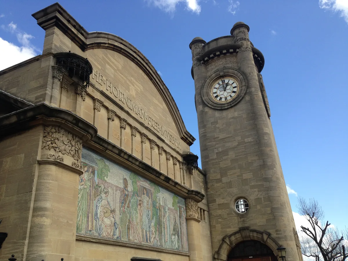
Horniman Museum and Gardens
Museums · 0.5 km

Sydenham Hill Wood
Forests & woodlands · 0.5 km

Folly Tower In Back Garden Of Number 23
Memorials & monuments · 0.7 km

South London Scout Centre
Campsites · 0.7 km

Dulwich
Chapels · 0.8 km

Camberwell Old Cemetery
Cemeteries · 0.9 km
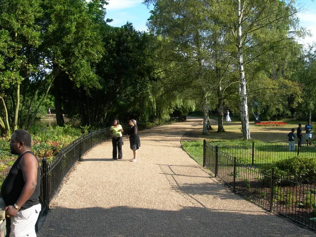
Dulwich Park
Parks · 0.9 km

Capitol Cinema
Theatres · 0.9 km

Empire Picture Theatre
Theatres · 0.9 km
Nearby
📷 5Memorials & monuments · London
C. S. Forester
C. S. Forester — a memorial in england-london, United Kingdom.
📷 5Zoos & aquariums · London
Menagerie
Menagerie — a zoo aquarium in england-london, United Kingdom.
📷 5Museums · London
Horniman Museum
Horniman Museum — a museum in england-london, United Kingdom.
📷 5Museums · London
Horniman Museum and Gardens
Horniman Museum and Gardens — museum in Forest Hill, London, England, United Kingdom.
📷 5Forests & woodlands · London
Sydenham Hill Wood
Sydenham Hill Wood is a forest or woodland in the United Kingdom.
📷 5Memorials & monuments · London
Folly Tower In Back Garden Of Number 23
Folly Tower In Back Garden Of Number 23 — Grade II listed building-listed memorial in england-london, United Kingdom.
Where to eat & stay near 549 Lordship Lane
Places to stay
📷 5Campsites · London
South London Scout Centre
South London Scout Centre — a campsite in england london.
 📷 5
📷 5 📷 7
📷 7Hotels · London
Peckham Rooms Hotel
Peckham Rooms Hotel — a hotel in england london.
 📷 5
📷 5 📷 7
📷 7Hotels · London
Best Western London Peckham Hotel
Best Western London Peckham Hotel — a hotel in england london. 3-star. Brand: Best Western.
 📷 5
📷 5Hostels · London
Hootananny Brixton
Hootananny Brixton — a hostel in england london.
Places to eat & drink
 📷 5
📷 5 📷 5
📷 5Historic pubs · London
The Crown and Greyhound
The Crown and Greyhound in England London, United Kingdom.
 📷 5
📷 5 📷 7
📷 7 📷 7
📷 7 📷 5
📷 5More gardens in this region
 Flagship📷 10
Gardens · London
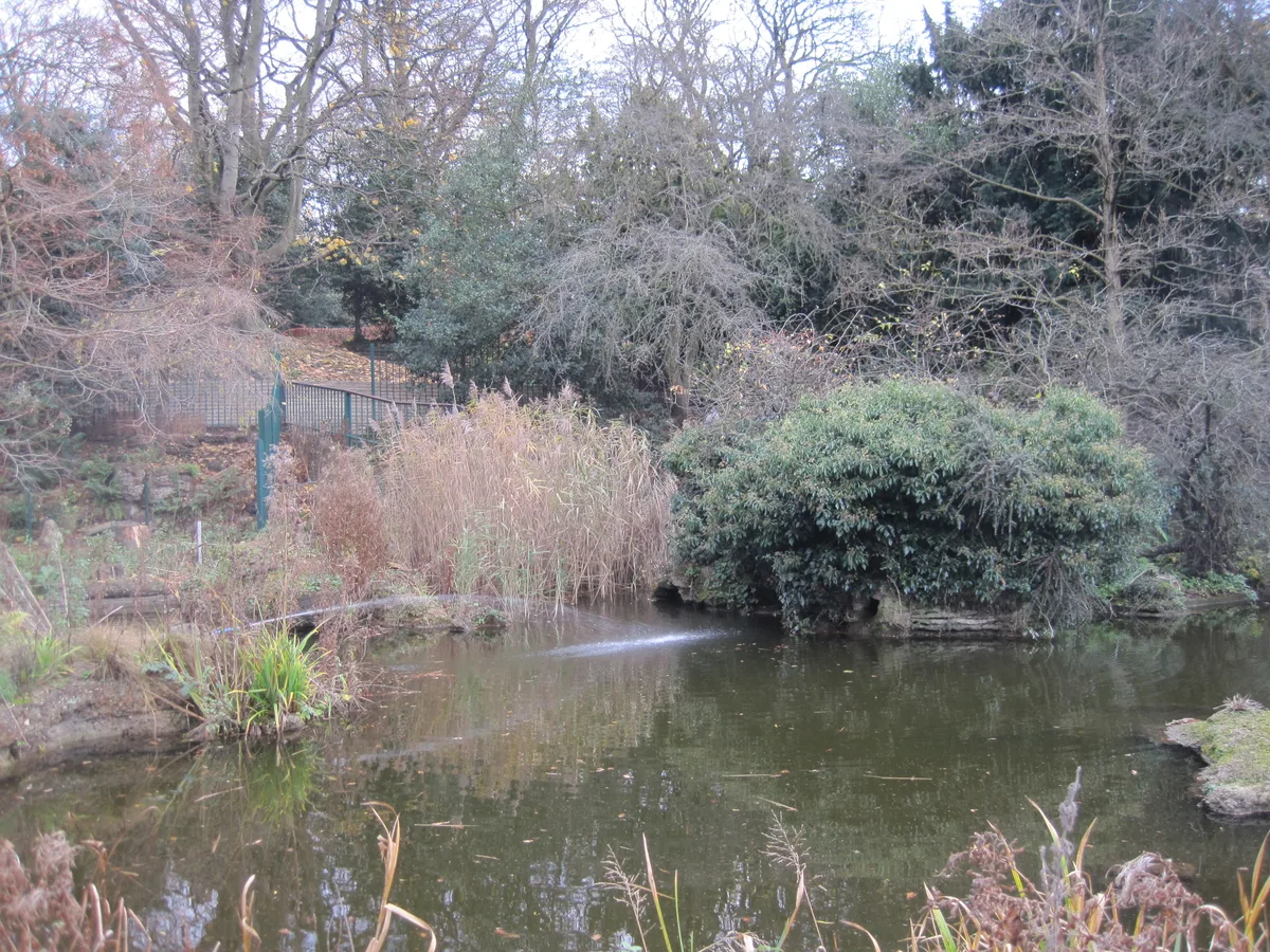
Avenue House Grounds
Avenue House Grounds — garden in London Borough of Barnet, United Kingdom.
 📷 10
📷 10Gardens · London
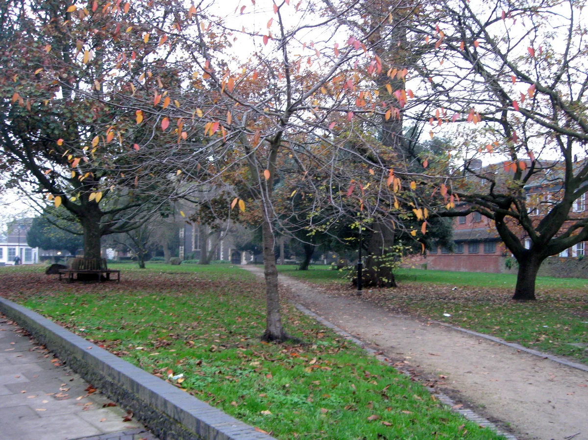
St. Johns Memorial Garden
St. Johns Memorial Garden is a garden in the United Kingdom.
 📷 10
📷 10Gardens · London
Woodside Green
Woodside Green — street and green space in the London Borough of Croydon, England, UK.
 📷 5
📷 5Gardens · London
A Maximis Ad Minima
A Maximis Ad Minima — Public artwork (sculpture) by Eduardo Paolozzi.
Frequently asked questions
- Where is 549 Lordship Lane?
- 549 Lordship Lane is in London, United Kingdom (postcode SE22 0BU), in the parish of Southwark, unparished area.
- What is 549 Lordship Lane?
- 549 Lordship Lane — a garden in england-london, United Kingdom.
- How do I get to 549 Lordship Lane?
- The nearest railway station is Forest Hill, about 1.0 km away. Drivers can use postcode SE22 0BU.
- Is 549 Lordship Lane free to visit?
- Yes, 549 Lordship Lane is free to enter.
- How do I get to 549 Lordship Lane?
- The nearest railway station is Forest Hill, about 1.0 km away. Drivers can navigate to postcode SE22 0BU.