
Gardens · Yorkshire & the Humber
19 and 21, Micklegate
In or near York.
19 and 21, Micklegate — a garden in england-yorkshire, United Kingdom.

Alan Murray-Rust — CC BY-SA 2.0 via Wikimedia Commons licence

Plan your visit
- Typical visit
- 1 h–2.5 h
- Best time of year
- Spring & summer (Apr–Sep)
- Nearest railway station
- York · 0.5 km
- Dog-friendly
Getting there & planning your visit
To visit 19 and 21, Micklegate, you can reach it via the nearest railway station, York, which is 0.5 km away. The postcode for navigation is YO1 6RA. Entry details regarding whether it is free or paid, as well as accessibility information, are not provided.
About
19 and 21, Micklegate is a garden of interest in england-yorkshire, United Kingdom — drawn from open-data sources for visitor reference. See the linked Wikipedia article for the full description.
Photo gallery
See it from the streetimagery from 2019
Imagery © Mapillary contributors, CC BY-SA 4.0
From the Wikipedia article
19 and 21 Micklegate is a historic building in the city centre of York, in England. The three-storey front range of the building, facing onto Micklegate, was constructed in the late 15th century. An annexe was added at the back in the 16th century, then in about 1600, a rear wing was added behind 21 Micklegate, all of this work being timber framed. Originally, the frames were infilled with tiles, but most of these have since been replaced with brick. The front was originally jettied, but in the early 18th century, these were removed, and the building was refronted in brick, covered in stucco. In the late 19th century, the building was partly remodelled, and shopfronts were added on the ground floor. The building stretched further east until 1966, when the part which formed 17 Micklegate was demolished. The demolished building had been heavily altered through conversion into a shop. It was occupied by a painters' business from about 1779 until 1889, and it had one painted room, with papier mache borders, which dated from that period. In 1971, the surviving part of the building was Grade II listed. Inside, much of the timber framing survives, including the altered 15th century roof and original floor joists. Other early work includes the staircase in the rear wing, the chimney stack, a fireplace and oven on the ground floor, and a further fireplace on the first floor. Since 2022, the ground floor of the building has been occupied by a bookshop run by Amnesty International.
Excerpt from Wikipedia under CC BY-SA 4.0. See the source article linked in Sources below.
- Coordinates
- 53.9571, -1.0860
- District
- York
- Parish
- York, unparished area
- Postcode
- YO1 6RA
- Parliamentary constituency
- York Central
- Nearest railway station
- York — 0.5 km
Sources
- wikidata: Q26548722 (CC0)
- wikipedia: 19 and 21 Micklegate (CC BY-SA 4.0)
Other places nearby

33–37 Micklegate
Gardens · 0.0 km

York Beach
Beaches · 0.1 km

Margaret Clitherow
Memorials & monuments · 0.1 km

St Margaret's School for Girls
Memorials & monuments · 0.1 km
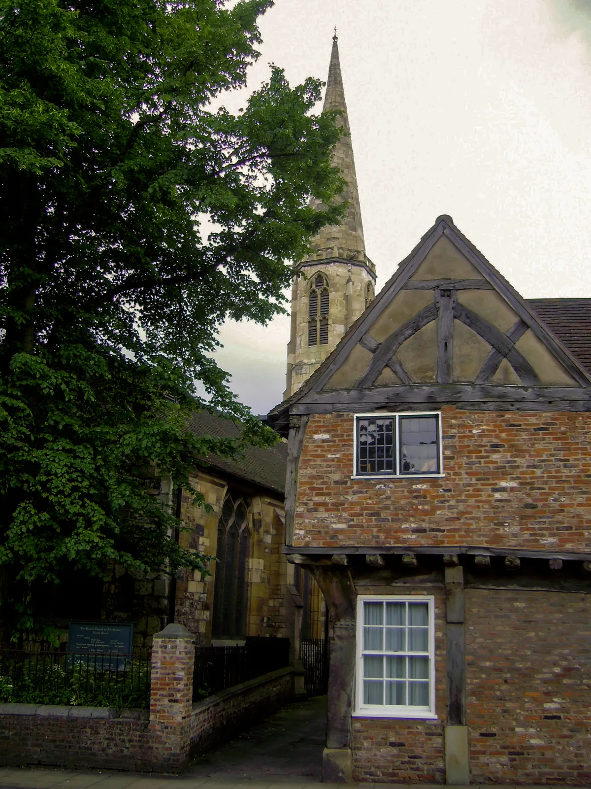
All Saints' Church
Historic churches · 0.1 km
.jpg?width=1200)
Ouse Bridge
Historic bridges · 0.1 km

Ouse Bridge and attached flights of steps
Historic bridges · 0.1 km

Edwin Ridsdale Tate
Memorials & monuments · 0.1 km
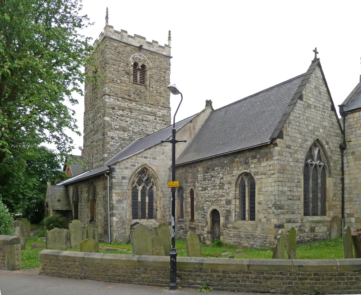
Church of St Mary Bishophill Junior
Historic churches · 0.2 km

70 and 72, Micklegate
Gardens · 0.2 km

John Snow
Memorials & monuments · 0.2 km

Safestay
Hostels · 0.2 km
Nearby
📷 4Gardens · Yorkshire & the Humber
33–37 Micklegate
33–37 Micklegate — a garden in england-yorkshire, United Kingdom.
📷 3Beaches · Yorkshire & the Humber
York Beach
York Beach is a beach in the United Kingdom.
📷 4Memorials & monuments · Yorkshire & the Humber
Margaret Clitherow
Margaret Clitherow — a memorial in england-yorkshire, United Kingdom.
📷 4Memorials & monuments · Yorkshire & the Humber
St Margaret's School for Girls
St Margaret's School for Girls — a memorial in england-yorkshire, United Kingdom.
📷 4Historic churches · Yorkshire & the Humber
All Saints' Church
All Saints' Church — Grade I listed church in York, North Yorkshire, England, UK.
📷 3Historic bridges · Yorkshire & the Humber
Ouse Bridge
Ouse Bridge is a historic bridge in the United Kingdom.
Where to eat & stay near 19 and 21, Micklegate
Places to stay
📷 5 📷 5
📷 5Hotels · Yorkshire & the Humber
The Grand Hotel & Spa
The Grand Hotel & Spa — a hotel in england yorkshire.
 📷 5
📷 5 📷 5
📷 5 📷 5
📷 5 📷 5
📷 5Places to eat & drink
 📷 7
📷 7Historic pubs · Yorkshire & the Humber
The Roman Bath Public House
The Roman Bath Public House in England Yorkshire, United Kingdom.
 📷 5
📷 5Historic pubs · Yorkshire & the Humber
Golden Fleece Inn, York
Golden Fleece Inn, York in England Yorkshire, United Kingdom.
 📷 5
📷 5Restaurants · Yorkshire & the Humber
La Vecchia Scuola
La Vecchia Scuola — a restaurant in england yorkshire.
 📷 5
📷 5Historic pubs · Yorkshire & the Humber
Eagle & Child
Eagle & Child in England Yorkshire, United Kingdom.
 📷 7
📷 7 📷 7
📷 7Historic pubs · Yorkshire & the Humber
The Snickleway Inn And Attached Buildings At Rear
The Snickleway Inn And Attached Buildings At Rear in England Yorkshire, United Kingdom.
More gardens in this region
 📷 3
📷 3Gardens · Yorkshire & the Humber
Clayton Vale
Clayton Vale — valley in Clayton, Manchester, England, UK.
 📷 4
📷 4Gardens · Yorkshire & the Humber
Houldsworth Working Men's Club
Houldsworth Working Men's Club — a garden in england-west-midlands, United Kingdom.
 📷 4
📷 4Gardens · Yorkshire & the Humber
Millennium House
Millennium House — a garden in england-west-midlands, United Kingdom.
 📷 4
📷 4Gardens · Yorkshire & the Humber
Millington Hall
Millington Hall — a garden in england-west-midlands, United Kingdom.
Frequently asked questions
- Where is 19 and 21, Micklegate?
- 19 and 21, Micklegate is in Yorkshire, United Kingdom (postcode YO1 6RA), in the parish of York, unparished area.
- What is 19 and 21, Micklegate?
- 19 and 21, Micklegate — a garden in england-yorkshire, United Kingdom.
- How do I get to 19 and 21, Micklegate?
- The nearest railway station is York, about 0.5 km away. Drivers can use postcode YO1 6RA.
- How do I get to 19 and 21, Micklegate?
- The nearest railway station is York, about 0.5 km away. Drivers can navigate to postcode YO1 6RA.