North East England · Reservoirs & lochs
Reservoirs & lochs in North East England
43 reservoirs & lochs to visit in North East England. Oldest in our list: Condercum (122). Featured: Thirlmere.
 📷 3
📷 3Reservoirs & lochs · North East England
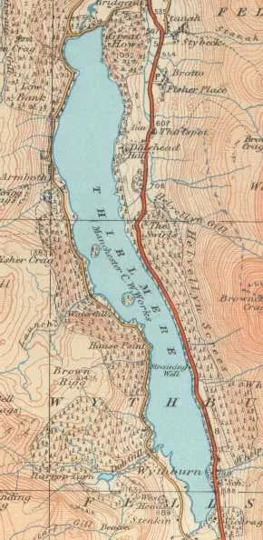
Thirlmere
Thirlmere — reservoir in the United Kingdom.
 📷 2
📷 2Reservoirs & lochs · North East England
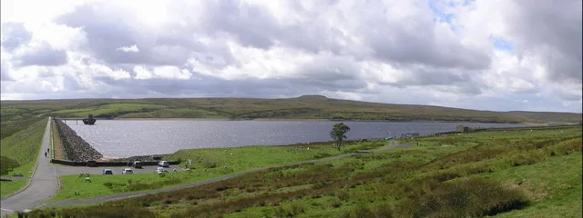
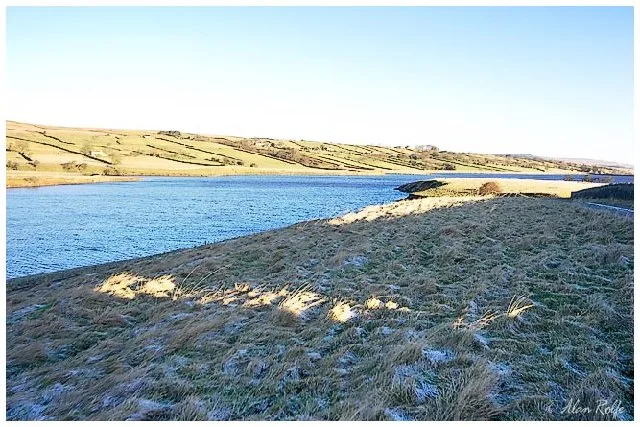
Balderhead Reservoir
Balderhead Reservoir — reservoir in County Durham, England, UK.
 📷 3
📷 3Reservoirs & lochs · North East England
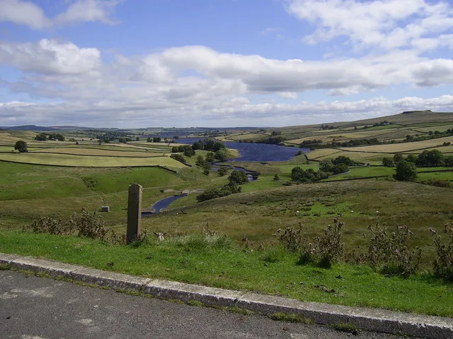
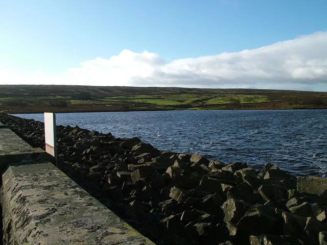
Blackton Reservoir
Blackton Reservoir — reservoir in County Durham, England, UK.
 📷 3
📷 3Reservoirs & lochs · North East England
Cogra Moss
Cogra Moss — reservoir in Cumbria, England, UK.
 📷 3
📷 3Reservoirs & lochs · North East England
Ennerdale Water
Ennerdale Water — reservoir in the United Kingdom.
 📷 3
📷 3Reservoirs & lochs · North East England
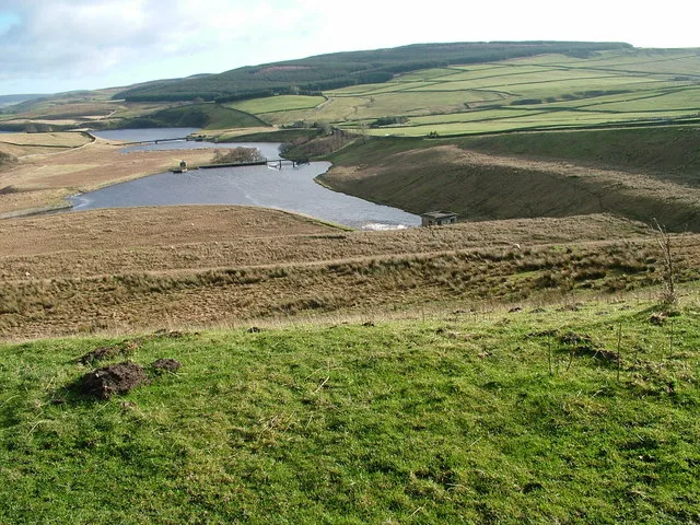
Grassholme Reservoir
Grassholme Reservoir — reservoir in County Durham, England, UK.
 📷 3
📷 3Reservoirs & lochs · North East England
Haweswater Reservoir
Haweswater Reservoir — reservoir in the United Kingdom.
 📷 3
📷 3Reservoirs & lochs · North East England
Hury Reservoir
Hury Reservoir — reservoir in County Durham, England, UK.
 📷 2
📷 2Reservoirs & lochs · North East England
Meadley Reservoir
Meadley Reservoir — reservoir in Cumbria, England, UK.
 📷 3
📷 3Reservoirs & lochs · North East England
Scaling Dam Reservoir
Scaling Dam Reservoir — reservoir in North Yorkshire, England, UK.
 📷 3
📷 3Reservoirs & lochs · North East England
Selset Reservoir
Selset Reservoir — reservoir in County Durham, England, UK.
 📷 3
📷 3Reservoirs & lochs · North East England
Wet Sleddale Horseshoe
Wet Sleddale Horseshoe in England North East, United Kingdom.
 📷 3
📷 3Reservoirs & lochs · North East England
Foster's Hush
Foster's Hush in England North East, United Kingdom.
 📷 3
📷 3Reservoirs & lochs · North East England
Far High House Meadows
Far High House Meadows in England North East, United Kingdom.
 📷 3
📷 3Reservoirs & lochs · North East England
Ireshopeburn
Ireshopeburn in England North East, United Kingdom.
 📷 3
📷 3Reservoirs & lochs · North East England
River Rede
River Rede in England North East, United Kingdom.
 📷 3
📷 3Reservoirs & lochs · North East England
Yetholm Loch
Yetholm Loch in England North East, United Kingdom.
 📷 3
📷 3Reservoirs & lochs · North East England
Wooden Loch
Wooden Loch in England North East, United Kingdom.
 📷 3
📷 3Reservoirs & lochs · North East England
Blencarn
Blencarn in England North East, United Kingdom.
Reservoirs & lochs · North East England
Bedshiel
Bedshiel in England North East, United Kingdom.
 📷 3
📷 3Reservoirs & lochs · North East England
Westruther
Westruther in England North East, United Kingdom.
 📷 3
📷 3Reservoirs & lochs · North East England
Startforth Rural District
Startforth Rural District in England North East, United Kingdom.
 📷 3
📷 3Reservoirs & lochs · North East England
Backstone Bank and Baal Hill Woods
Backstone Bank and Baal Hill Woods in England North East, United Kingdom.
 📷 3
📷 3Reservoirs & lochs · North East England
Hannah's Meadows
Hannah's Meadows in England North East, United Kingdom.
 📷 3
📷 3Reservoirs & lochs · North East England
River Lune
River Lune in England North East, United Kingdom.
Reservoirs & lochs · North East England
West Park Meadows
West Park Meadows in England North East, United Kingdom.

Reservoirs & lochs · North East England
Rigg Farm and Stake Hill Meadows
Rigg Farm and Stake Hill Meadows in England North East, United Kingdom.
 📷 3
📷 3Reservoirs & lochs · North East England
Ale Water
Ale Water in England North East, United Kingdom.
 📷 3
📷 3Reservoirs & lochs · North East England
Aske
Aske in England North East, United Kingdom.
 📷 3
📷 3Reservoirs & lochs · North East England
Aske Hall
Aske Hall in England North East, United Kingdom.
 📷 3
📷 3Reservoirs & lochs · North East England
Pike Whin Bog
Pike Whin Bog in England North East, United Kingdom.
 📷 3
📷 3Reservoirs & lochs · North East England
Baybridge
Baybridge in England North East, United Kingdom.
 📷 3
📷 3Reservoirs & lochs · North East England
Milecastle 17
Milecastle 17 in England North East, United Kingdom.
📷 3Reservoirs & lochs · North East England
Whittle Dene reservoirs
Whittle Dene reservoirs in England North East, United Kingdom.
 📷 3
📷 3Reservoirs & lochs · North East England
Burnhope Burn
Burnhope Burn in England North East, United Kingdom.
 📷 3
📷 3Reservoirs & lochs · North East England
Carterway Heads
Carterway Heads in England North East, United Kingdom.
 📷 3
📷 3Reservoirs & lochs · North East England
Slaley Hall
Slaley Hall in England North East, United Kingdom.
 📷 3
📷 3Reservoirs & lochs · North East England
Waskerley
Waskerley in England North East, United Kingdom.
 📷 3
📷 3Reservoirs & lochs · North East England
Brasside Pond
Brasside Pond in England North East, United Kingdom.
 📷 3
📷 3Reservoirs & lochs · North East England
Edmundbyers
Edmundbyers in England North East, United Kingdom.
 📷 3
📷 3Reservoirs & lochs · North East England
Condercum
Condercum in England North East, United Kingdom.
 📷 3
📷 3Reservoirs & lochs · North East England
Seaburn Dene
Seaburn Dene in England North East, United Kingdom.
 📷 3
📷 3Reservoirs & lochs · North East England
Holburn
Holburn in England North East, United Kingdom.